Seaport · Greece

PithagorionGRPYT

37.6833°, 26.9500°
4.9 m
Channel depth
Pithagorion is also a UN/LOCODE logistics hub →

Channel & Berth Profile

SEA LEVEL (CD)CHANNEL BEDChannel · 4.9 mCargo pier · 4.9 mAnchorage · 9.4 m
NGA World Port Index

Pilotage, Tugs & Services

Pilotage availableYES
Tug assistanceNO
Salvage tugsNO
Potable waterYES
Diesel bunkersNO
MedicalYES
Garbage disposalNO
NGA World Port Index

Facilities & Capabilities

Container
Ro-Ro
Liquid bulk
Dry bulk
Oil terminal
Break bulk
Dry dock
Repairs
BunkeringNO
Rail link
Dangerous cargo
ISPS security
NGA World Port Index

Harbour Specifications

Harbour size
Very Small
NGA World Port Index
Harbour type
Coastal (Breakwater)
NGA World Port Index
Shelter
Fair
NGA World Port Index
Water body
Aegean Sea; Mediterranean Sea; North Atlantic Ocean
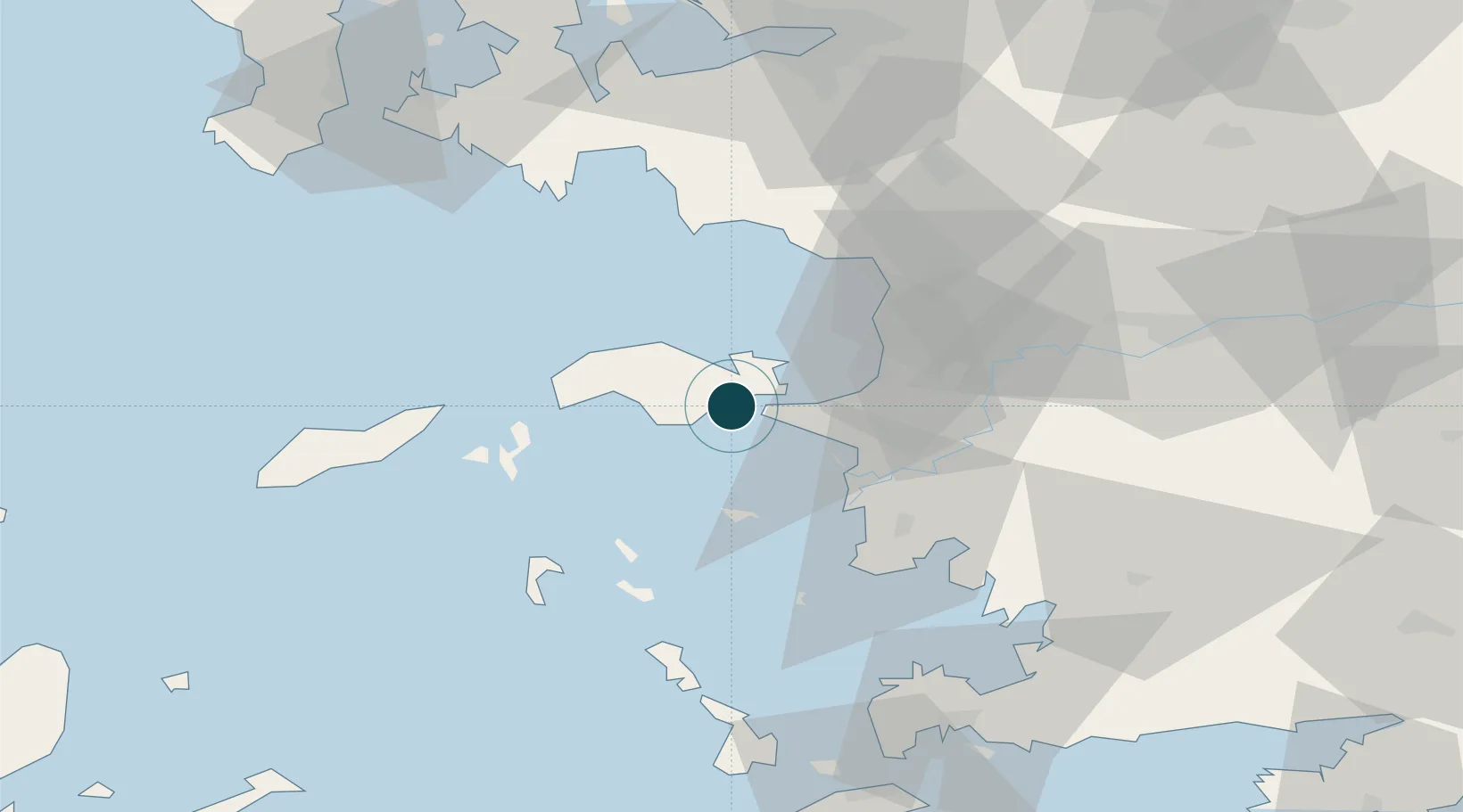
NGA World Port Index

Location

Location of GRPYT
Natural Earth 10m (public domain) · Notio Aigaio · GRPYT · 37.68, 26.95GoogleOSMYandex

Nearby Logistics Neighbours

Ports
  1. 1Samos8 km
  2. 2Neon Karlovas27 km
  3. 3Kusadasi33 km
  4. 4Lakki62 km
  5. 5Gulluk76 km
Nearest neighbours — logibook spatial index (haversine) over the source coordinates
Cities
  1. 1Port Vathý (Vathý)8 km
  2. 2Marathokampos Samou22 km
  3. 3Agathonisi26 km
  4. 4Néon Karlovásion27 km
  5. 5Kusadasi32 km
Nearest neighbours — logibook spatial index (haversine) over the source coordinates
Airports
  1. 1Samos Airport4 km
  2. 2Ikaria Airport53 km
  3. 3Leros Airport57 km
  4. 4Adnan Menderes International Airport70 km
  5. 5Milas Bodrum International Airport79 km
Nearest neighbours — logibook spatial index (haversine) over the source coordinates
Trade Zones
  1. 1Aegean Free Zone74 km
  2. 2Tire Organized Industrial Zone82 km
  3. 3Izmir Ataturk Organized Industrial Zone90 km
  4. 4Izmir Free Zone104 km
  5. 5Manisa Organized Industrial Zone110 km
Nearest neighbours — logibook spatial index (haversine) over the source coordinates
DatabookThe Record of Consolidated Knowledge
Greece beyond logistics?
Browse databook

All Sources

Portsthe NGA World Port Index
Public domain (US gov)
AirportsOurAirports
Public domain
LocationsUN/LOCODE
UN/LOCODE — free
Trade Zonesthe World Bank SEZ database
CC BY 4.0
Trade ZonesOpen Zone Map
CC BY
← Greece ports