UN/LOCODE hub · Thailand
THLCH
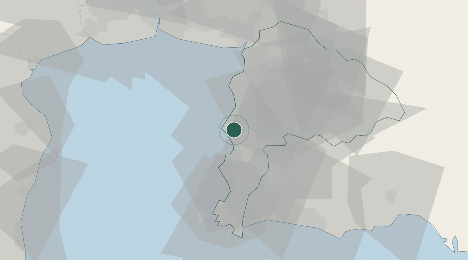
Laem Chabang
13.0922°, 100.9365°
2
Transport functions
11
Container terminals
Transport Functions
Port
Road
Hub Profile
Region
20
Logistics facilities
84
Container terminals
11
Location
Nearby Logistics Neighbours
Cities
- 1Chonburi4 km
- 2Si Racha10 km
- 3Ko Sichang14 km
- 4NH Prosperity18 km
- 5Pattaya19 km
Ports
- 1Siam Seaport7 km
- 2Si Racha Terminal9 km
- 3Ko Si Chang Terminal15 km
- 4Sattahip53 km
- 5Map Ta Phut54 km
Airports
DatabookThe Record of Consolidated Knowledge
Thailand beyond logistics?