Transport Functions
Port
Road
Hub Profile
Region
21
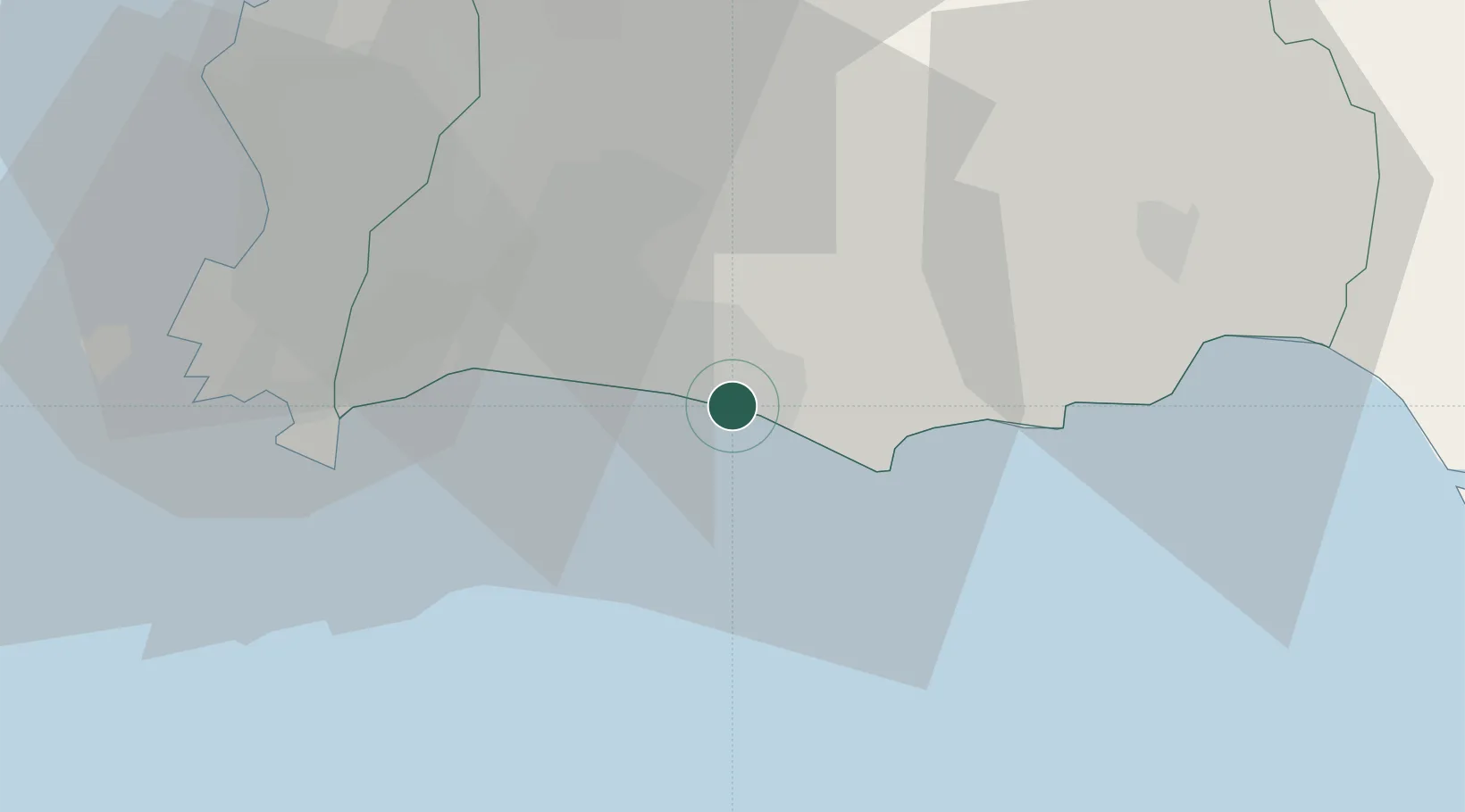
Location
Nearby Logistics Neighbours
Cities
- 1Sattahip42 km
- 2Tungprong Pt51 km
- 3Pattaya55 km
- 4Laem Chabang63 km
- 5Chonburi64 km
Ports
- 1Rayong Tpi Terminal2 km
- 2Sattahip42 km
- 3Laem Chabang66 km
- 4Siam Seaport70 km
- 5Si Racha Terminal71 km
Airports
- 1U-Tapao–Rayong–Pattaya International Airport32 km
- 2Trat Airport118 km
- 3Suvarnabhumi Airport129 km
- 4Hua Hin Airport146 km
- 5Don Mueang International Airport159 km
Trade Zones
DatabookThe Record of Consolidated Knowledge
Thailand beyond logistics?