Transport Functions
Port
Hub Profile
Place type
Provincial seat
Region
Chon Buri
Population
65,444
Time zone
Asia/Bangkok
Elevation
4 m
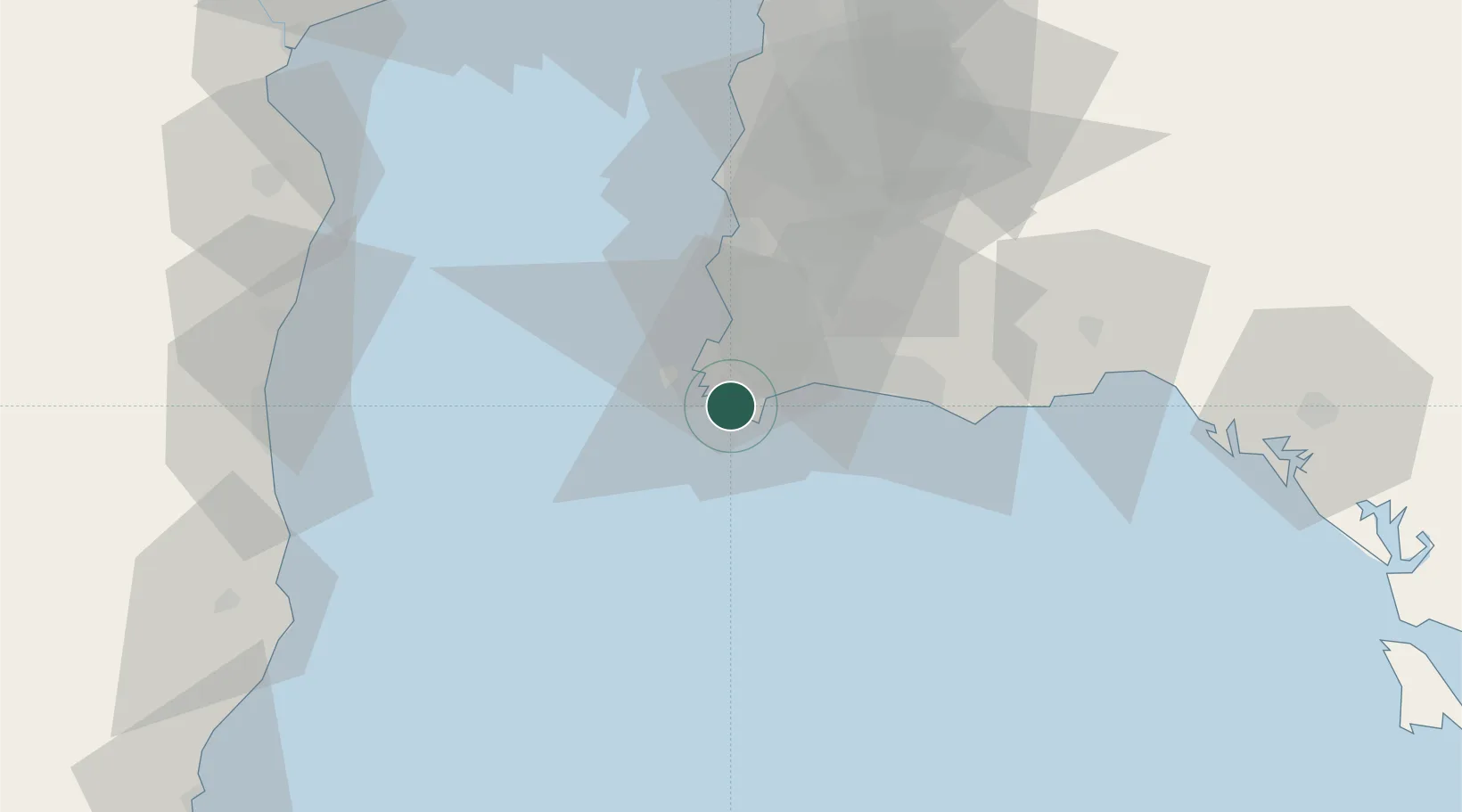
Location
Nearby Logistics Neighbours
Cities
- 1Tungprong Pt12 km
- 2Pattaya34 km
- 3Map Ta Phut42 km
- 4Chonburi49 km
- 5Laem Chabang51 km
Ports
- 1Map Ta Phut27 km
- 2Rayong Tpi Terminal42 km
- 3Laem Chabang50 km
- 4Siam Seaport56 km
- 5Si Racha Terminal59 km
Airports
- 1U-Tapao–Rayong–Pattaya International Airport11 km
- 2Hua Hin Airport105 km
- 3Suvarnabhumi Airport118 km
- 4Don Mueang International Airport146 km
- 5Trat Airport157 km
Trade Zones
DatabookThe Record of Consolidated Knowledge
Thailand beyond logistics?