Transport Functions
Rail
Road
Airport
Hub Profile
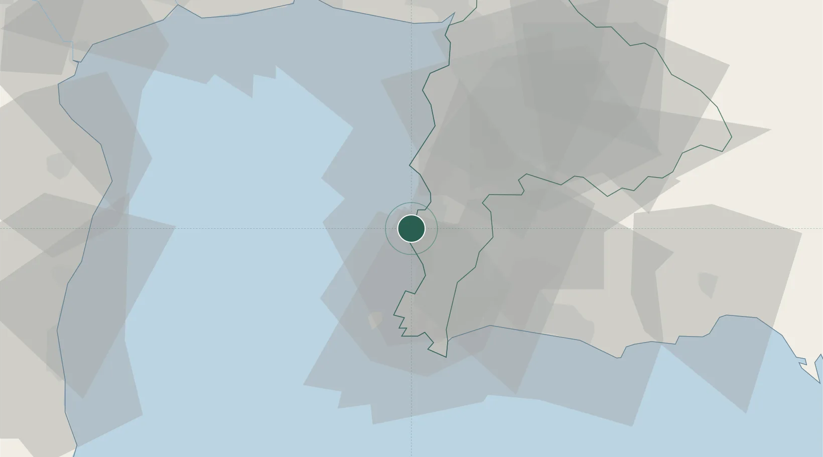
Place type
Populated place
Region
Chon Buri
Population
116,417
Time zone
Asia/Bangkok
Elevation
9 m
Location
Nearby Logistics Neighbours
Cities
- 1Chonburi16 km
- 2Laem Chabang19 km
- 3Ko Sichang23 km
- 4Si Racha26 km
- 5Tungprong Pt27 km
Ports
- 1Laem Chabang17 km
- 2Siam Seaport22 km
- 3Si Racha Terminal26 km
- 4Ko Si Chang Terminal27 km
- 5Sattahip35 km
Airports
Trade Zones
DatabookThe Record of Consolidated Knowledge
Thailand beyond logistics?