UN/LOCODE hub · Thailand
THTAC

Tha Chaleap

12.5833°, 101.8833°
1
Transport functions

Transport Functions

Port
UN/LOCODE

Hub Profile

Region
22
GeoNames

Location

Location of THTAC
Natural Earth 10m (public domain) · 22 · THTAC · 12.58, 101.88GoogleOSMYandex

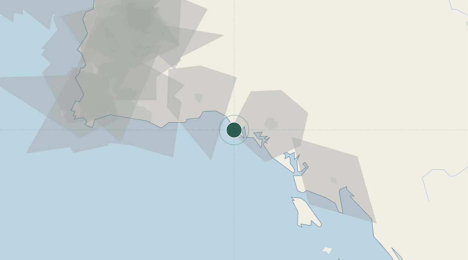
Nearby Logistics Neighbours

Cities
  1. 1Chanthaburi49 km
  2. 2Map Ta Phut64 km
  3. 3Sattahip105 km
  4. 4Tungprong Pt115 km
  5. 5Pattaya115 km
Nearest neighbours — logibook spatial index (haversine) over the source coordinates
Ports
  1. 1Rayong Tpi Terminal64 km
  2. 2Map Ta Phut78 km
  3. 3Sattahip105 km
  4. 4Laem Chabang122 km
  5. 5Si Racha Terminal123 km
Nearest neighbours — logibook spatial index (haversine) over the source coordinates
Airports
  1. 1Trat Airport59 km
  2. 2U-Tapao–Rayong–Pattaya International Airport96 km
  3. 3Battambang Airport156 km
  4. 4Suvarnabhumi Airport173 km
  5. 5Don Mueang International Airport202 km
Nearest neighbours — logibook spatial index (haversine) over the source coordinates
Trade Zones
  1. 1Irpc Eco Industrial Zone62 km
  2. 2Rayong Eco Industrial Estate Ban Khai68 km
  3. 3Rojana Industrial Park Rayong Ban Khai70 km
  4. 4Ssp Industrial Park Rayong75 km
  5. 5Hemaraj Rayong Industrial Landhemaraj Ril75 km
Nearest neighbours — logibook spatial index (haversine) over the source coordinates
DatabookThe Record of Consolidated Knowledge
Thailand beyond logistics?
Browse databook

All Sources

LocationsUN/LOCODE
UN/LOCODE — free
Portsthe NGA World Port Index
Public domain (US gov)
AirportsOurAirports
Public domain
Trade Zonesthe World Bank SEZ database
CC BY 4.0
Trade ZonesOpen Zone Map
CC BY
← Thailand locations