UN/LOCODE hub · Thailand
THBKK
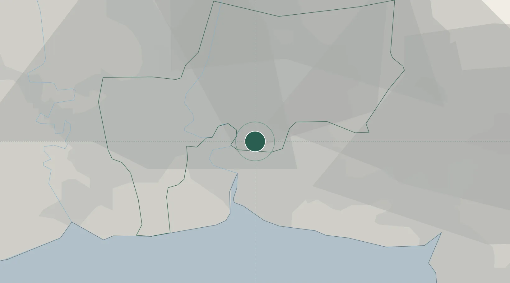
Bangkok
13.6742°, 100.6327°
5,104,476
Population
5
Transport functions
6
Container terminals
Transport Functions
Port
Rail
Road
Airport
Postal
Hub Profile
Place type
National capital
Region
Bangkok
Population
5,104,476
Time zone
Asia/Bangkok
Elevation
12 m
Logistics facilities
105
Container terminals
6
Location
Nearby Logistics Neighbours
Cities
- 1Phra Khanong5 km
- 2Siam Bangkok Port7 km
- 3T S Transport and Logistics8 km
- 4Actu-lum9 km
- 5Siamgas and Petrochemicals10 km
Ports
- 1Ko Si Chang Terminal60 km
- 2Si Racha Terminal64 km
- 3Siam Seaport66 km
- 4Laem Chabang71 km
- 5Sattahip122 km
Airports
Trade Zones
DatabookThe Record of Consolidated Knowledge
Thailand beyond logistics?