UN/LOCODE hub · El Salvador
SVAQJ
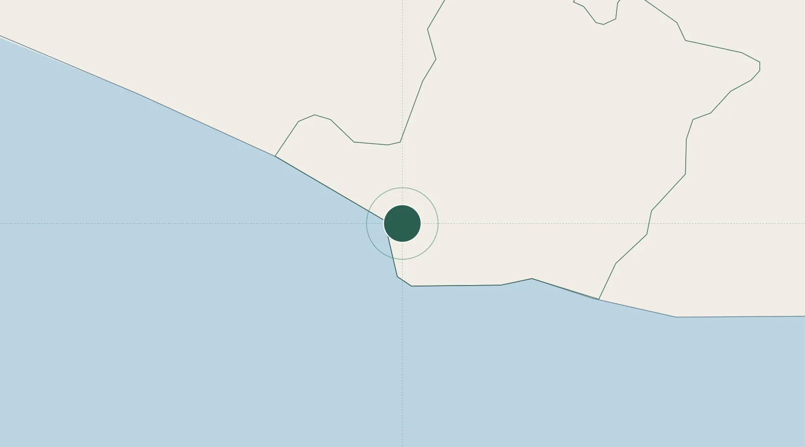
Acajutla
13.5935°, -89.8177°
22,763
Population
2
Transport functions
1
Container terminals
Transport Functions
Port
Road
Hub Profile
Place type
Populated place
Region
Sonsonate Department
Population
22,763
Time zone
America/El_Salvador
Elevation
26 m
Logistics facilities
11
Container terminals
1
Location
Nearby Logistics Neighbours
Cities
- 1Sacacoyo41 km
- 2Lourdes49 km
- 3Sitio del Nino51 km
- 4Santa Tecla52 km
- 5La Libertad56 km
Ports
- 1Puerto Quetzal112 km
- 2La Union217 km
- 3Puerto De Hencan257 km
- 4Santo Tomas De Castilla268 km
- 5Puerto Barrios272 km
Airports
Trade Zones
- 1Zona Franca 1046 km
- 2American Park Free Zone50 km
- 3Export Salva Free Zone52 km
- 4Zona Franca Santa Ana56 km
- 5Zona Franca Santa Tecla59 km
DatabookThe Record of Consolidated Knowledge
El Salvador beyond logistics?