UN/LOCODE hub · Singapore
SGPPT

PASIR PANJANG Terminal

1.2833°, 103.7667°
2
Transport functions

Transport Functions

Port
Road
UN/LOCODE

Hub Profile

Region
05
GeoNames

Location

Location of SGPPT
Natural Earth 10m (public domain) · 05 · SGPPT · 1.28, 103.77GoogleOSMYandex

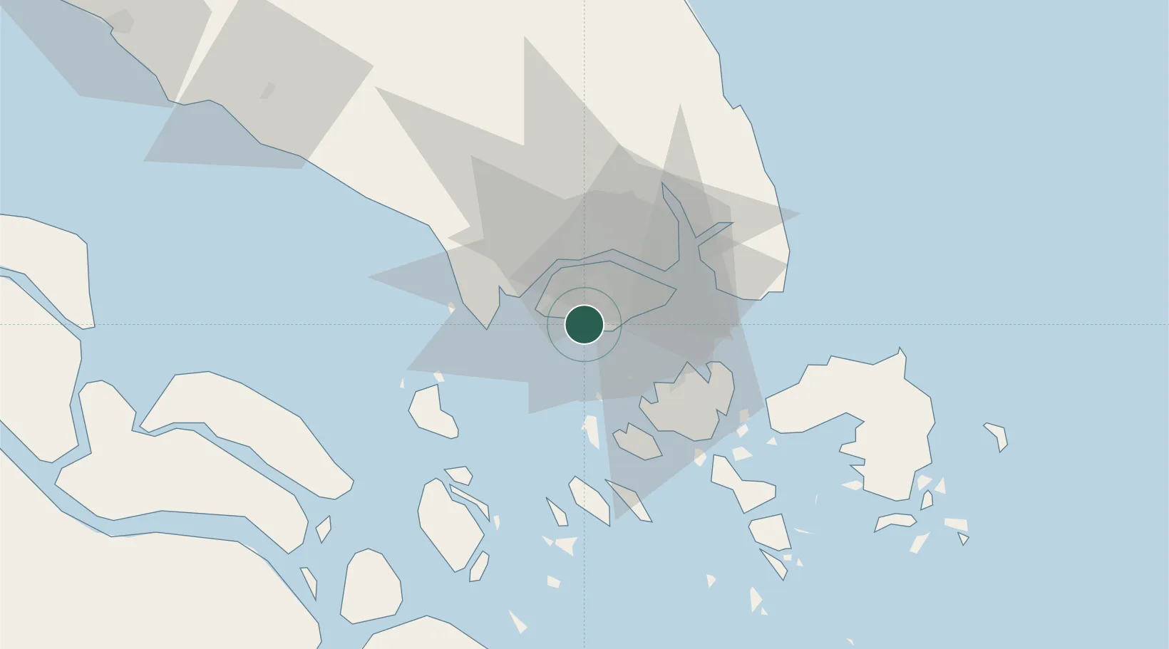
Nearby Logistics Neighbours

Cities
  1. 1Pasir Panjang Wharves3 km
  2. 2Bukit Merah Estate6 km
  3. 3Jurong/Singapore6 km
  4. 4Singapore7 km
  5. 5Pulau Ayer Chawan8 km
Nearest neighbours — logibook spatial index (haversine) over the source coordinates
Ports
  1. 1Jurong Island4 km
  2. 2Pulau Bukom6 km
  3. 3Keppel - (East Singapore)9 km
  4. 4Pulau Sebarok10 km
  5. 5Pulau Sambu20 km
Nearest neighbours — logibook spatial index (haversine) over the source coordinates
Airports
  1. 1Tengah Air Base13 km
  2. 2Sembawang Air Base17 km
  3. 3Paya Lebar Air Base18 km
  4. 4Seletar Airport18 km
  5. 5Singapore Changi Airport26 km
Nearest neighbours — logibook spatial index (haversine) over the source coordinates
Trade Zones
  1. 1One-North Innovation District3 km
  2. 2Pasir Panjang Wharves And Terminal Free Trade Zone3 km
  3. 3Jurong Port Free Trade Zone6 km
  4. 4Keppel Distripark Free Trade Zone7 km
  5. 5Brani Terminal Free Trade Zone8 km
Nearest neighbours — logibook spatial index (haversine) over the source coordinates
DatabookThe Record of Consolidated Knowledge
Singapore beyond logistics?
Browse databook

All Sources

LocationsUN/LOCODE
UN/LOCODE — free
Portsthe NGA World Port Index
Public domain (US gov)
AirportsOurAirports
Public domain
Trade Zonesthe World Bank SEZ database
CC BY 4.0
Trade ZonesOpen Zone Map
CC BY
← Singapore locations