Transport Functions
Rail
Road
Hub Profile
Region
AB
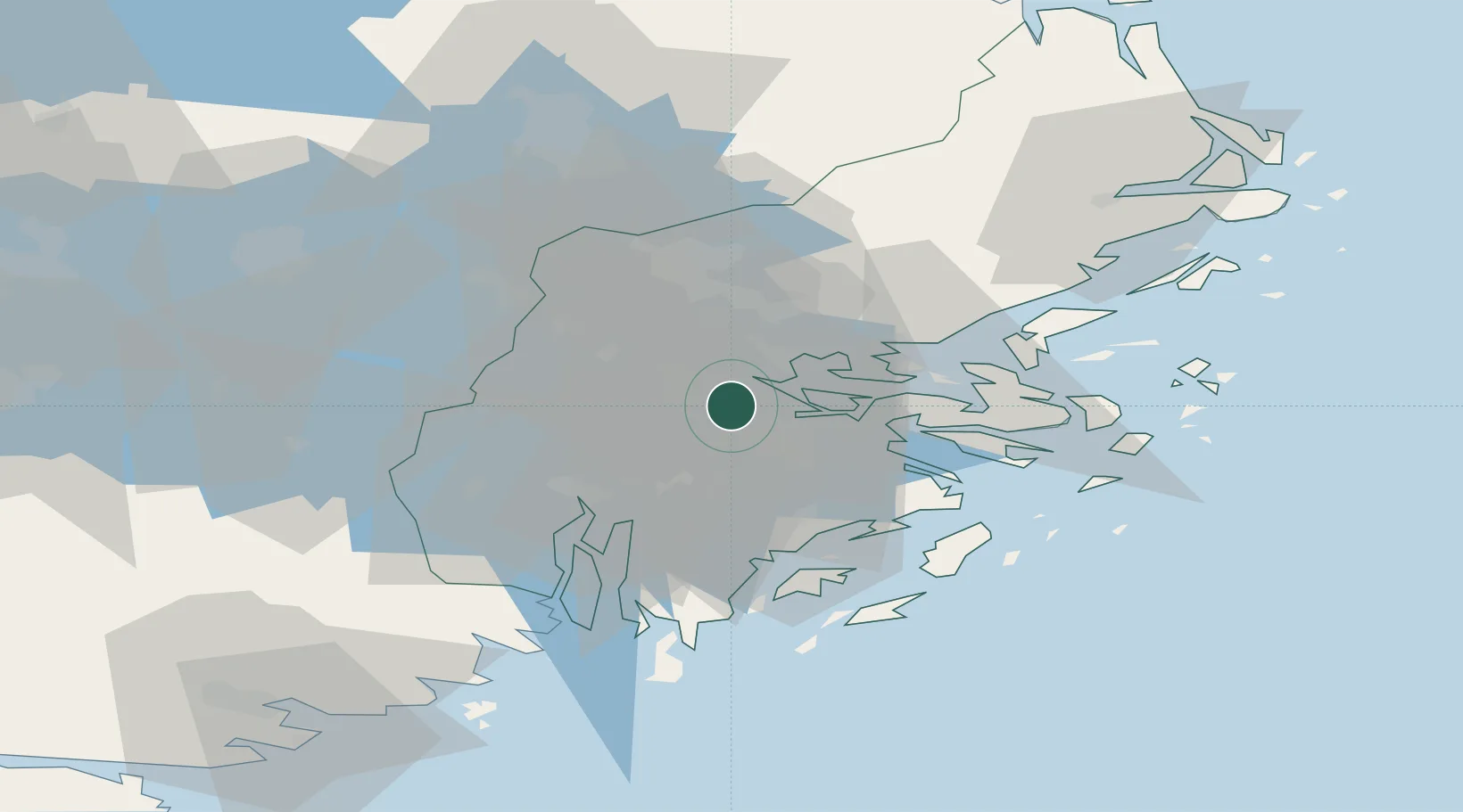
Location
Nearby Logistics Neighbours
Cities
- 1Tomteboda/Solna3 km
- 2Drottningholm6 km
- 3Segeltorp8 km
- 4Järfälla8 km
- 5Älvsjö/Stockholm10 km
Ports
- 1Stockholm5 km
- 2Gustavsberg24 km
- 3Sodertalje26 km
- 4Nynashamn50 km
- 5Hallstavik85 km
Airports
Trade Zones
- 1Stockholm Free Zone8 km
- 2Turku Free Zone266 km
- 3Freeport of Hanko282 km
- 4Jönköping Free Zone285 km
- 5Free port of Ventspils300 km
DatabookThe Record of Consolidated Knowledge
Sweden beyond logistics?