UN/LOCODE hub · Sweden
SEBER

Bergs oljehamn

59.3167°, 18.1667°
1
Transport functions

Transport Functions

Port
UN/LOCODE

Hub Profile

Region
AB
GeoNames

Location

Location of SEBER
Natural Earth 10m (public domain) · AB · SEBER · 59.32, 18.17GoogleOSMYandex

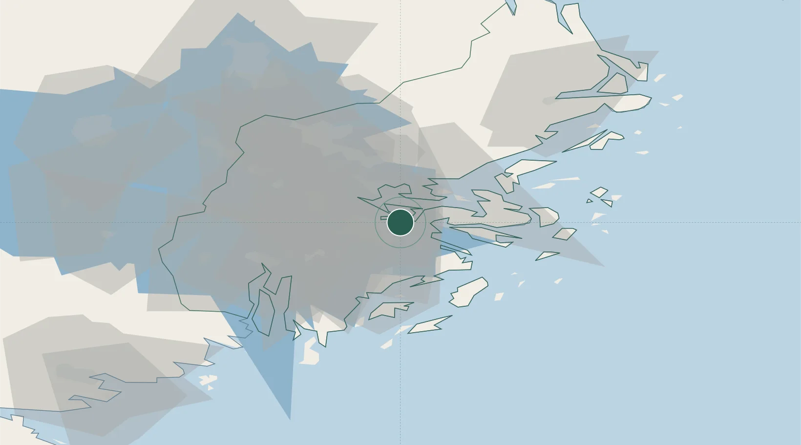
Nearby Logistics Neighbours

Cities
  1. 1Sickla3 km
  2. 2Gustavsvik/Stockholm8 km
  3. 3Tomteboda/Solna9 km
  4. 4Trangsund10 km
  5. 5Älvsjö/Stockholm11 km
Nearest neighbours — logibook spatial index (haversine) over the source coordinates
Ports
  1. 1Stockholm7 km
  2. 2Gustavsberg12 km
  3. 3Sodertalje33 km
  4. 4Nynashamn48 km
  5. 5Hallstavik85 km
Nearest neighbours — logibook spatial index (haversine) over the source coordinates
Airports
  1. 1Stockholm-Bromma Airport13 km
  2. 2Stockholm-Arlanda Airport39 km
  3. 3Eskilstuna Airport83 km
  4. 4Stockholm Västerås Airport92 km
  5. 5Stockholm Skavsta Airport93 km
Nearest neighbours — logibook spatial index (haversine) over the source coordinates
Trade Zones
  1. 1Stockholm Free Zone5 km
  2. 2Turku Free Zone258 km
  3. 3Freeport of Hanko272 km
  4. 4Free port of Ventspils289 km
  5. 5Jönköping Free Zone292 km
Nearest neighbours — logibook spatial index (haversine) over the source coordinates
DatabookThe Record of Consolidated Knowledge
Sweden beyond logistics?
Browse databook

All Sources

LocationsUN/LOCODE
UN/LOCODE — free
Portsthe NGA World Port Index
Public domain (US gov)
AirportsOurAirports
Public domain
Trade Zonesthe World Bank SEZ database
CC BY 4.0
Trade ZonesOpen Zone Map
CC BY
← Sweden locations