UN/LOCODE hub · Sweden
SESTO
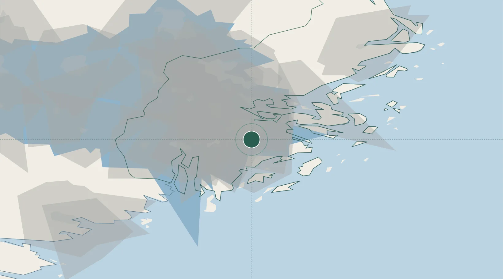
Stockholm
59.2195°, 18.0763°
1,515,017
Population
5
Transport functions
6
Container terminals
Transport Functions
Port
Rail
Road
Airport
Postal
Hub Profile
Place type
National capital
Region
Stockholm
Population
1,515,017
Time zone
Europe/Stockholm
Elevation
17 m
Logistics facilities
13
Container terminals
6
Location
Nearby Logistics Neighbours
Cities
- 1Trangsund4 km
- 2Haninge7 km
- 3Älvsjö/Stockholm7 km
- 4Vendelsö7 km
- 5Sickla9 km
Ports
- 1Gustavsberg21 km
- 2Sodertalje25 km
- 3Nynashamn36 km
- 4Nykoping80 km
- 5Oxelosund83 km
Airports
- 1Stockholm-Bromma Airport17 km
- 2Stockholm-Arlanda Airport48 km
- 3Eskilstuna Airport79 km
- 4Stockholm Skavsta Airport82 km
- 5Stockholm Västerås Airport91 km
Trade Zones
- 1Stockholm Free Zone15 km
- 2Turku Free Zone268 km
- 3Freeport of Hanko279 km
- 4Jönköping Free Zone282 km
- 5Free port of Ventspils285 km
DatabookThe Record of Consolidated Knowledge
Sweden beyond logistics?