Transport Functions
Rail
Road
Multimodal
Hub Profile
Region
AB
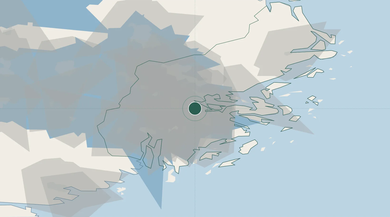
Location
Nearby Logistics Neighbours
Cities
- 1Bällstaviken3 km
- 2Sickla8 km
- 3Drottningholm8 km
- 4Segeltorp9 km
- 5Bergs oljehamn9 km
Ports
- 1Stockholm3 km
- 2Gustavsberg21 km
- 3Sodertalje28 km
- 4Nynashamn50 km
- 5Hallstavik84 km
Airports
Trade Zones
- 1Stockholm Free Zone5 km
- 2Turku Free Zone264 km
- 3Freeport of Hanko279 km
- 4Jönköping Free Zone288 km
- 5Free port of Ventspils298 km
DatabookThe Record of Consolidated Knowledge
Sweden beyond logistics?