UN/LOCODE hub · Sweden
SEALS

Älvsjö/Stockholm

59.2667°, 18.0000°
2
Transport functions

Transport Functions

Rail
Road
UN/LOCODE

Hub Profile

Region
AB
GeoNames

Location

Location of SEALS
Natural Earth 10m (public domain) · AB · SEALS · 59.27, 18.00GoogleOSMYandex

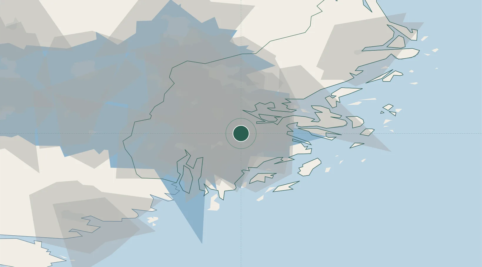
Nearby Logistics Neighbours

Cities
  1. 1Segeltorp4 km
  2. 2Stockholm7 km
  3. 3Sickla8 km
  4. 4Vårby8 km
  5. 5Trangsund8 km
Nearest neighbours — logibook spatial index (haversine) over the source coordinates
Ports
  1. 1Stockholm8 km
  2. 2Sodertalje22 km
  3. 3Gustavsberg23 km
  4. 4Nynashamn41 km
  5. 5Nykoping80 km
Nearest neighbours — logibook spatial index (haversine) over the source coordinates
Airports
  1. 1Stockholm-Bromma Airport10 km
  2. 2Stockholm-Arlanda Airport43 km
  3. 3Eskilstuna Airport74 km
  4. 4Stockholm Skavsta Airport82 km
  5. 5Stockholm Västerås Airport85 km
Nearest neighbours — logibook spatial index (haversine) over the source coordinates
Trade Zones
  1. 1Stockholm Free Zone11 km
  2. 2Turku Free Zone269 km
  3. 3Jönköping Free Zone282 km
  4. 4Freeport of Hanko282 km
  5. 5Free port of Ventspils292 km
Nearest neighbours — logibook spatial index (haversine) over the source coordinates
DatabookThe Record of Consolidated Knowledge
Sweden beyond logistics?
Browse databook

All Sources

LocationsUN/LOCODE
UN/LOCODE — free
Portsthe NGA World Port Index
Public domain (US gov)
AirportsOurAirports
Public domain
Trade Zonesthe World Bank SEZ database
CC BY 4.0
Trade ZonesOpen Zone Map
CC BY
← Sweden locations