Transport Functions
Rail
Road
Hub Profile
Place type
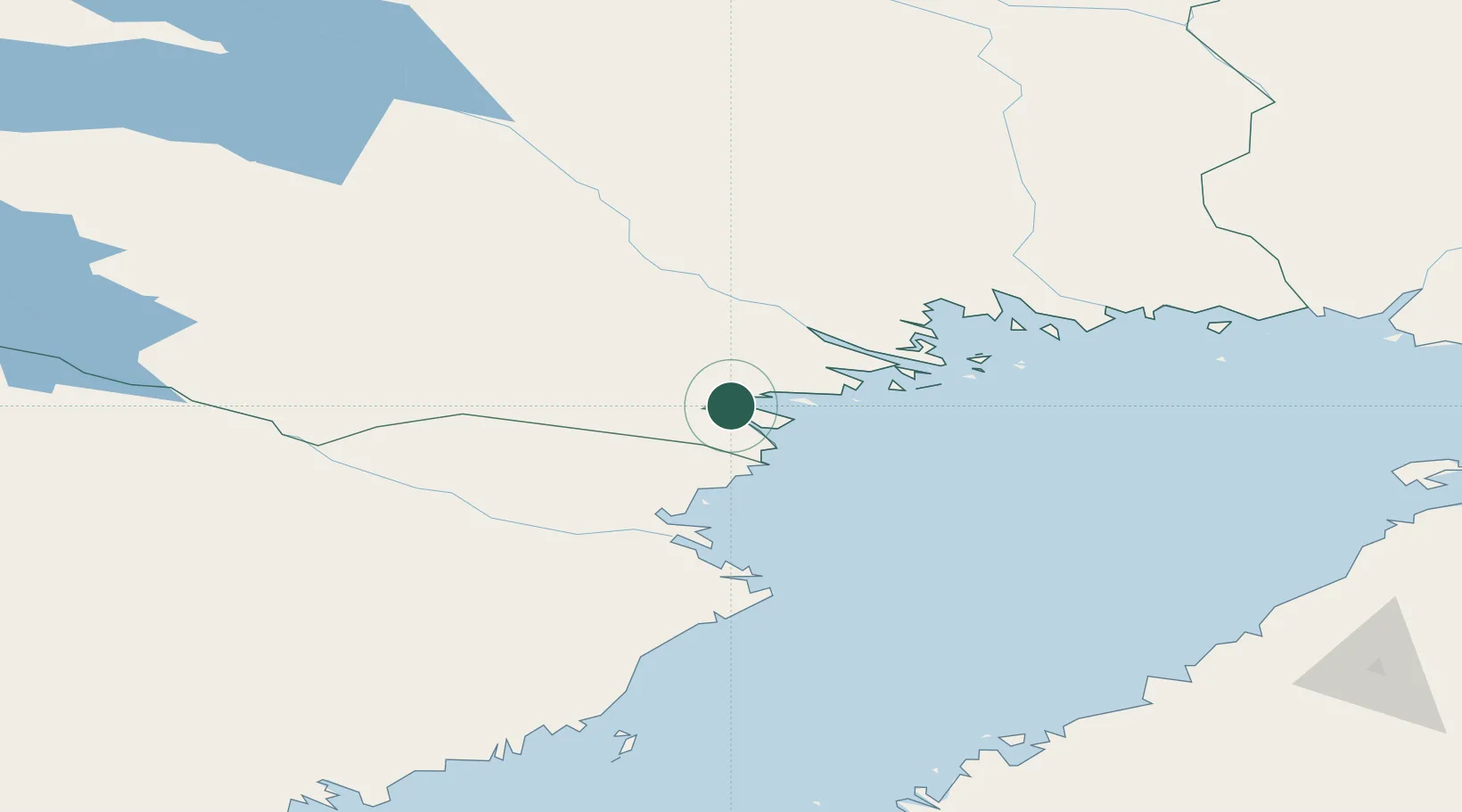
Populated place
Region
Norrbotten
Time zone
Europe/Stockholm
Elevation
9 m
Location
Nearby Logistics Neighbours
Cities
- 1Piteå16 km
- 2Haraholmen17 km
- 3Luleå43 km
- 4Skellefteå68 km
- 5Skelleftehamn75 km
Ports
- 1Pitea5 km
- 2Brannfors37 km
- 3Lulea44 km
- 4Skelleftehamn75 km
- 5Torehamn84 km
Airports
- 1Luleå Airport40 km
- 2Skellefteå Airport82 km
- 3Arvidsjaur Airport101 km
- 4Kemi-Tornio Airport154 km
- 5Lycksele Airport155 km
Trade Zones
- 1Oulu Port Free Warehouse Area191 km
- 2Turku Free Zone547 km
- 3Free Zone of Lappeenranta585 km
- 4Port of Hamina-Kotka610 km
- 5Freeport of Hanko619 km
DatabookThe Record of Consolidated Knowledge
Sweden beyond logistics?