Transport Functions
Port
Airport
Hub Profile
Place type
Regional capital
Region
Norrbotten
Population
77,832
Time zone
Europe/Stockholm
Elevation
17 m
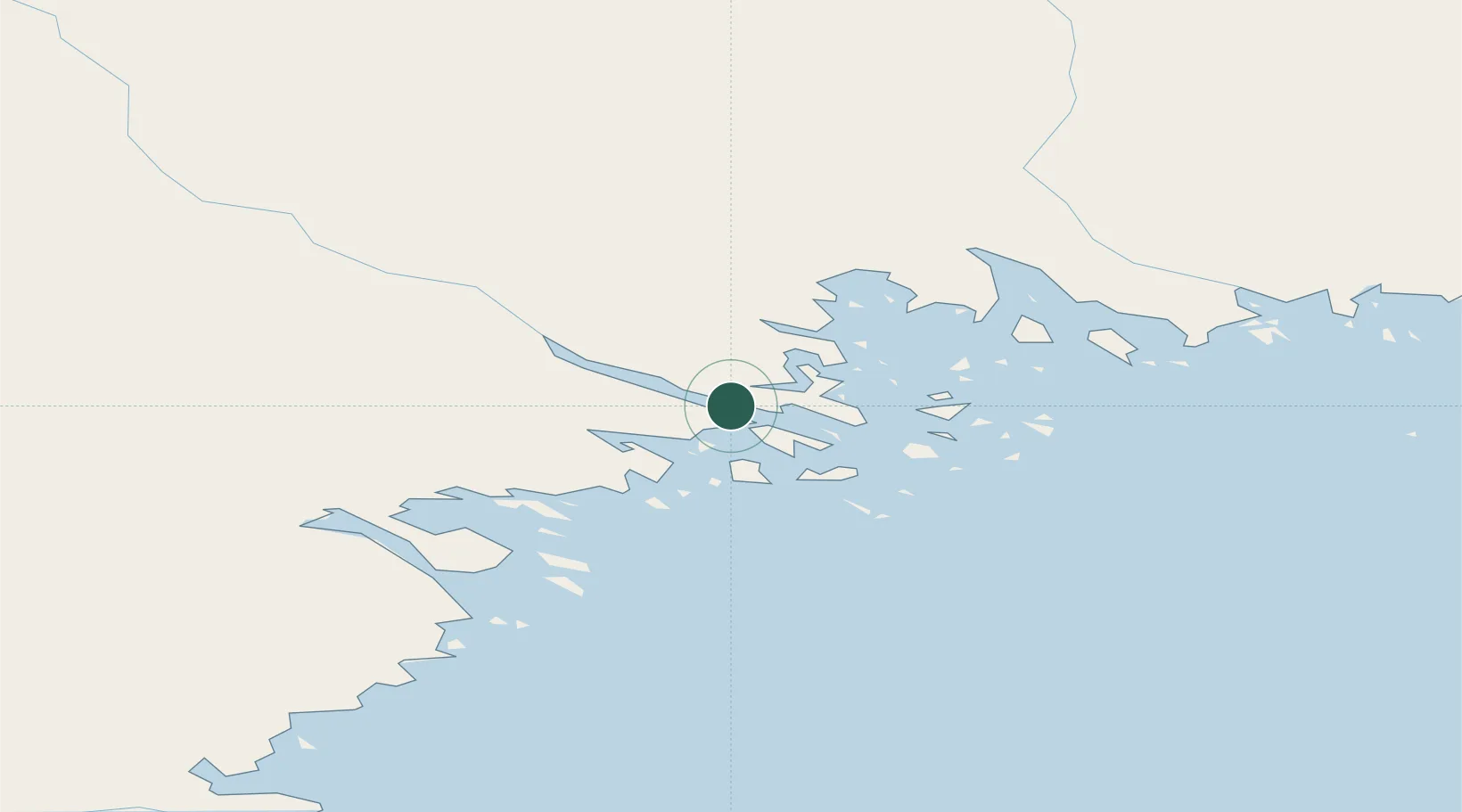
Location
Nearby Logistics Neighbours
Cities
- 1Töre42 km
- 2Öjebyn43 km
- 3Haraholmen45 km
- 4Piteå46 km
- 5Karlsborg Axelvik57 km
Airports
- 1Luleå Airport5 km
- 2Kemi-Tornio Airport114 km
- 3Skellefteå Airport118 km
- 4Oulu Airport166 km
- 5Gällivare Airport182 km
Trade Zones
- 1Oulu Port Free Warehouse Area165 km
- 2Turku Free Zone571 km
- 3Free Zone of Lappeenranta586 km
- 4Port of Hamina-Kotka617 km
- 5Freeport of Hanko641 km
DatabookThe Record of Consolidated Knowledge
Sweden beyond logistics?