Transport Functions
Port
Road
Hub Profile
Region
E
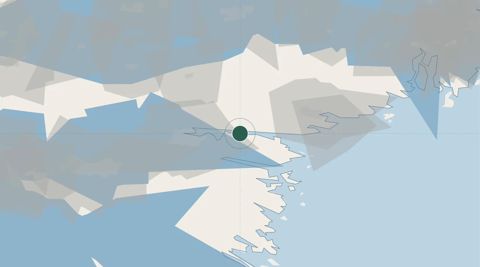
Location
Nearby Logistics Neighbours
Cities
- 1Krokek9 km
- 2Djurön11 km
- 3Norrköping17 km
- 4Marviken20 km
- 5Stigtomta24 km
Ports
- 1Norrkoping20 km
- 2Nykoping31 km
- 3Oxelosund34 km
- 4Nynashamn88 km
- 5Sodertalje89 km
Airports
- 1Norrköping Airport17 km
- 2Stockholm Skavsta Airport28 km
- 3Linköping City Airport55 km
- 4Malmen Air Base64 km
- 5Eskilstuna Airport80 km
Trade Zones
- 1Stockholm Free Zone120 km
- 2Jönköping Free Zone172 km
- 3Gothenburg Boundless Customs Warehouse295 km
- 4Free port of Ventspils324 km
- 5Liepāja SEZ373 km
DatabookThe Record of Consolidated Knowledge
Sweden beyond logistics?