Transport Functions
Port
Hub Profile
Place type
Populated place
Region
Östergötland
Time zone
Europe/Stockholm
Elevation
13 m
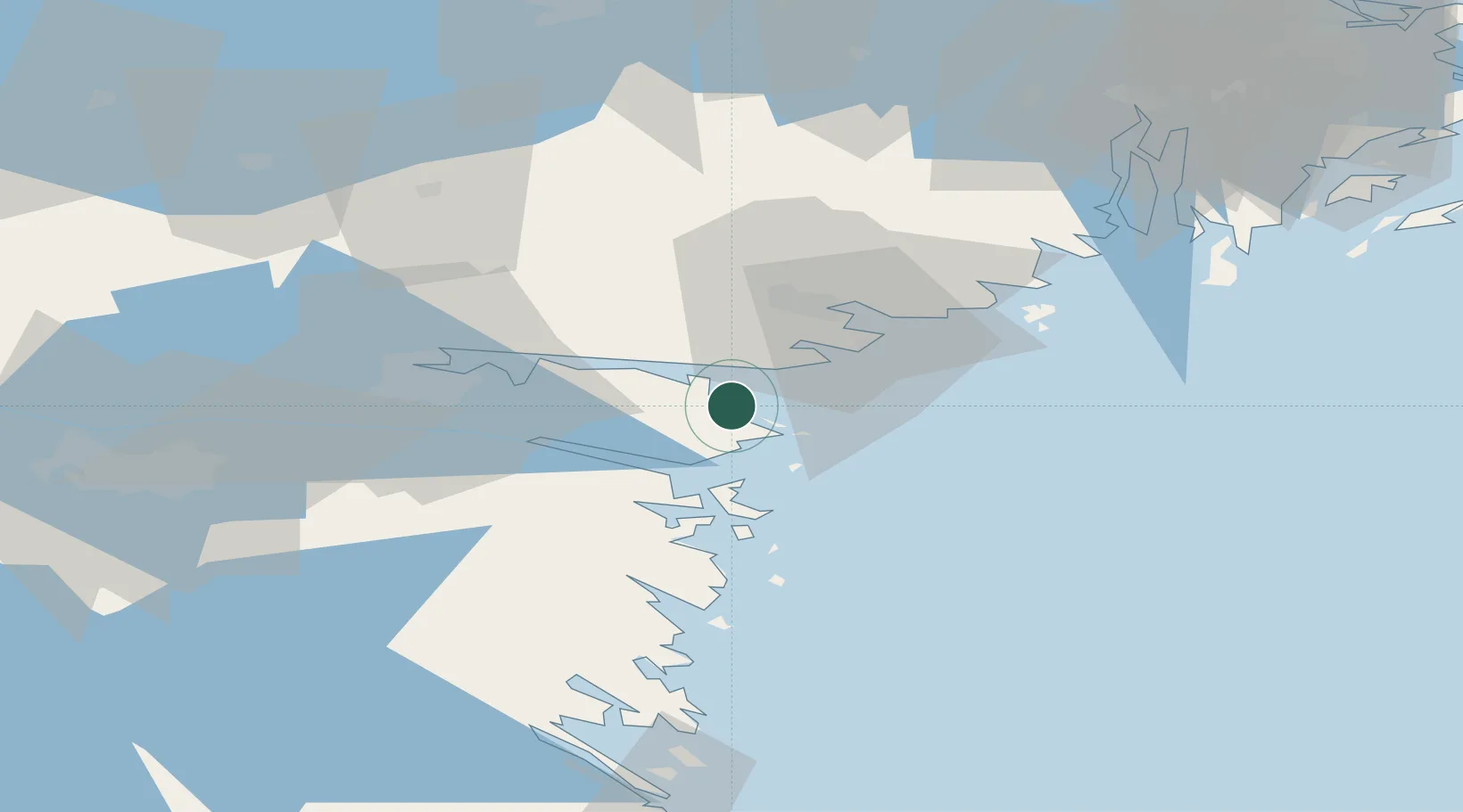
Location
Nearby Logistics Neighbours
Ports
- 1Oxelosund21 km
- 2Nykoping25 km
- 3Norrkoping37 km
- 4Nynashamn76 km
- 5Sodertalje85 km
Airports
- 1Stockholm Skavsta Airport27 km
- 2Norrköping Airport34 km
- 3Linköping City Airport69 km
- 4Malmen Air Base78 km
- 5Eskilstuna Airport89 km
Trade Zones
- 1Stockholm Free Zone115 km
- 2Jönköping Free Zone183 km
- 3Free port of Ventspils305 km
- 4Gothenburg Boundless Customs Warehouse309 km
- 5Liepāja SEZ354 km
DatabookThe Record of Consolidated Knowledge
Sweden beyond logistics?