Channel & Berth Profile
Pilotage, Tugs & Services
Pilotage compulsoryYES
Pilotage availableYES
Pilotage advisableYES
Tug assistanceYES
Potable waterYES
MedicalYES
Garbage disposalYES
Facilities & Capabilities
ContainerNO
Ro-RoYES
Liquid bulkYES
Dry bulkYES
Oil terminalNO
Break bulkYES
Dry dockNO
RepairsNO
BunkeringYES
Rail linkYES
Dangerous cargo—
ISPS security—
Harbour Specifications
Harbour size
Small
Harbour type
Coastal (Natural)
Shelter
Good
Water body
Baltic Sea; North Atlantic Ocean
Overhead limit
Yes
Pilotage
Yes
Liner Connectivity
12.8
PLSCI
Port Liner Shipping Connectivity Index for Oskarshamn, as published by UNCTAD for the latest available quarter. Higher values indicate stronger scheduled liner-shipping integration.
Shown relative to the highest per-port PLSCI in the dataset (1,657.9).
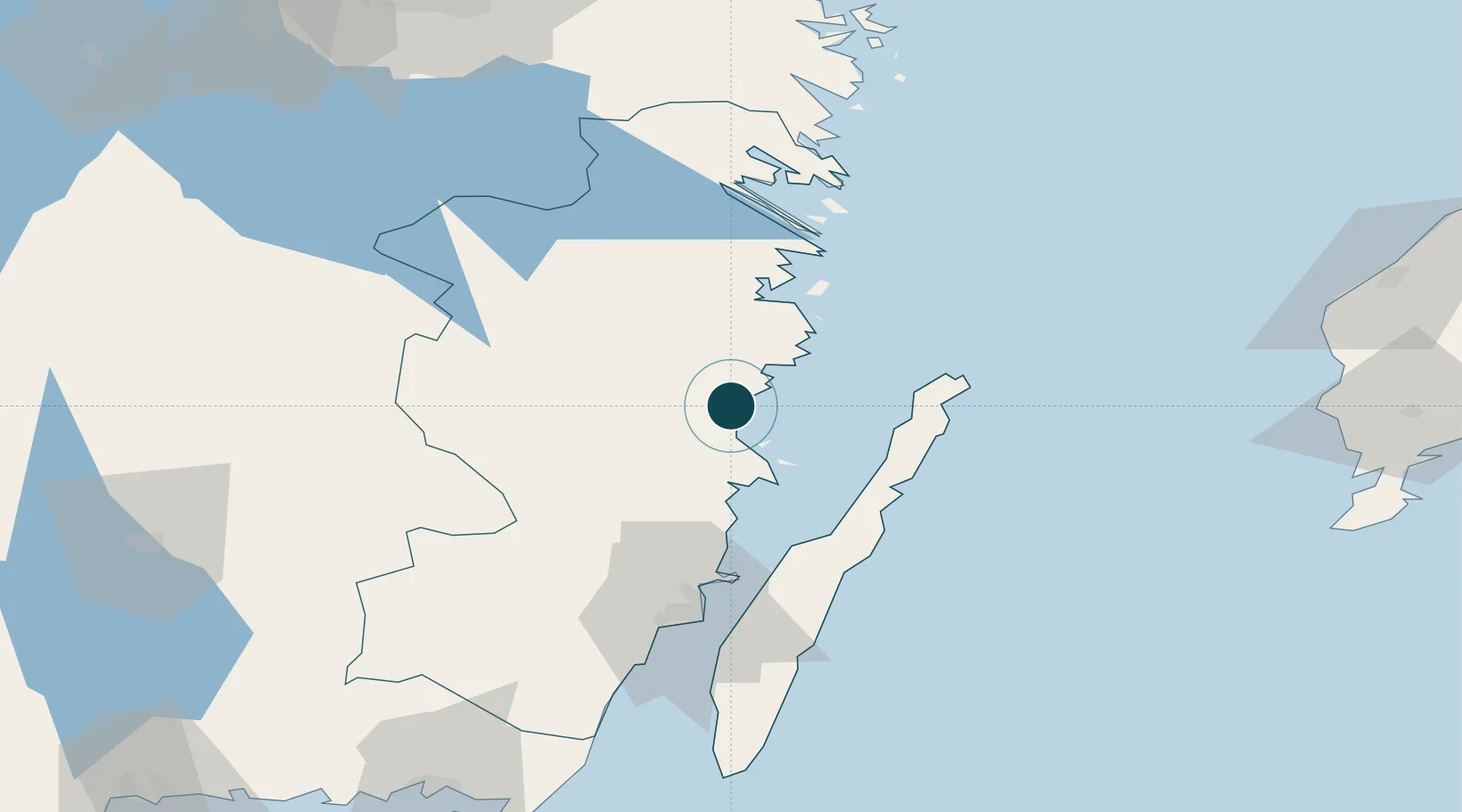
Location
Nearby Logistics Neighbours
Ports
- 1Figeholm12 km
- 2Stora Jatterson20 km
- 3Verkeback52 km
- 4Vastervik57 km
- 5Kalmar67 km
Cities
- 1Simpevarp21 km
- 2Mönsterås26 km
- 3Ruda, Högsby27 km
- 4Flivik33 km
- 5Pataholm39 km
Airports
- 1Kalmar Airport65 km
- 2Växjö Kronoberg Airport111 km
- 3Visby Airport122 km
- 4Ronneby Airport133 km
- 5Linköping City Airport134 km
Trade Zones
- 1Jönköping Free Zone151 km
- 2Stockholm Free Zone251 km
- 3MTS Malmö Transport and Spedition277 km
- 4Freeport of Copenhagen- Nordhavn293 km
- 5Liepāja SEZ298 km
DatabookThe Record of Consolidated Knowledge
Sweden beyond logistics?