UN/LOCODE hub · Sweden
SERUD

Ruda, Högsby

57.1000°, 16.1167°
2
Transport functions

Transport Functions

Rail
Road
UN/LOCODE

Hub Profile

Region
H
GeoNames

Location

Location of SERUD
Natural Earth 10m (public domain) · H · SERUD · 57.10, 16.12GoogleOSMYandex

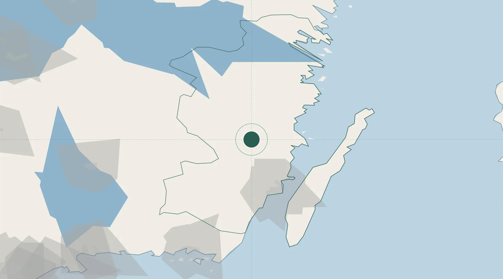
Nearby Logistics Neighbours

Cities
  1. 1Mönsterås21 km
  2. 2Oskarshamn27 km
  3. 3Pataholm27 km
  4. 4Målilla37 km
  5. 5Trekanten45 km
Nearest neighbours — logibook spatial index (haversine) over the source coordinates
Ports
  1. 1Stora Jatterson27 km
  2. 2Oskarshamn27 km
  3. 3Figeholm38 km
  4. 4Kalmar51 km
  5. 5Verkeback75 km
Nearest neighbours — logibook spatial index (haversine) over the source coordinates
Airports
  1. 1Kalmar Airport47 km
  2. 2Växjö Kronoberg Airport86 km
  3. 3Ronneby Airport106 km
  4. 4Jönköping Airport143 km
  5. 5Linköping City Airport147 km
Nearest neighbours — logibook spatial index (haversine) over the source coordinates
Trade Zones
  1. 1Jönköping Free Zone142 km
  2. 2MTS Malmö Transport and Spedition250 km
  3. 3Freeport of Copenhagen- Nordhavn265 km
  4. 4Stockholm Free Zone276 km
  5. 5Słupsk SEZ (Słupska SSE)299 km
Nearest neighbours — logibook spatial index (haversine) over the source coordinates
DatabookThe Record of Consolidated Knowledge
Sweden beyond logistics?
Browse databook

All Sources

LocationsUN/LOCODE
UN/LOCODE — free
Portsthe NGA World Port Index
Public domain (US gov)
AirportsOurAirports
Public domain
Trade Zonesthe World Bank SEZ database
CC BY 4.0
Trade ZonesOpen Zone Map
CC BY
← Sweden locations