Channel & Berth Profile
Pilotage, Tugs & Services
Pilotage compulsoryYES
Pilotage advisableYES
Tug assistanceYES
Potable waterYES
MedicalYES
Garbage disposalYES
Facilities & Capabilities
ContainerYES
Ro-RoYES
Liquid bulkYES
Dry bulkYES
Oil terminalNO
Break bulkYES
Dry dockNO
RepairsNO
BunkeringYES
Rail linkYES
Dangerous cargo—
ISPS security—
Harbour Specifications
Harbour size
Very Small
Harbour type
Coastal (Breakwater)
Shelter
Good
Water body
Baltic Sea; North Atlantic Ocean
Overhead limit
Yes
Pilotage
Yes
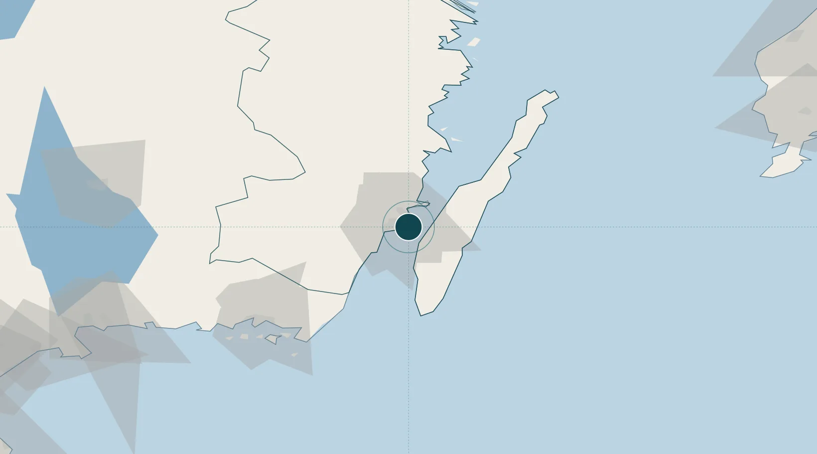
Location
Nearby Logistics Neighbours
Ports
- 1Degerhamn35 km
- 2Bergkvara36 km
- 3Stora Jatterson50 km
- 4Oskarshamn67 km
- 5Karlskrona73 km
Cities
- 1Färjestaden5 km
- 2Trekanten16 km
- 3Mörbylånga17 km
- 4Broby21 km
- 5Pataholm28 km
Airports
- 1Kalmar Airport5 km
- 2Ronneby Airport81 km
- 3Växjö Kronoberg Airport104 km
- 4Visby Airport163 km
- 5Kristianstad Airport163 km
Trade Zones
- 1Jönköping Free Zone184 km
- 2MTS Malmö Transport and Spedition235 km
- 3Słupsk SEZ (Słupska SSE)248 km
- 4Freeport of Copenhagen- Nordhavn256 km
- 5Pomeranian SEZ (Pomorska SSE)287 km
DatabookThe Record of Consolidated Knowledge
Sweden beyond logistics?