Medium airport · Sweden

Växjö Kronoberg AirportESMX
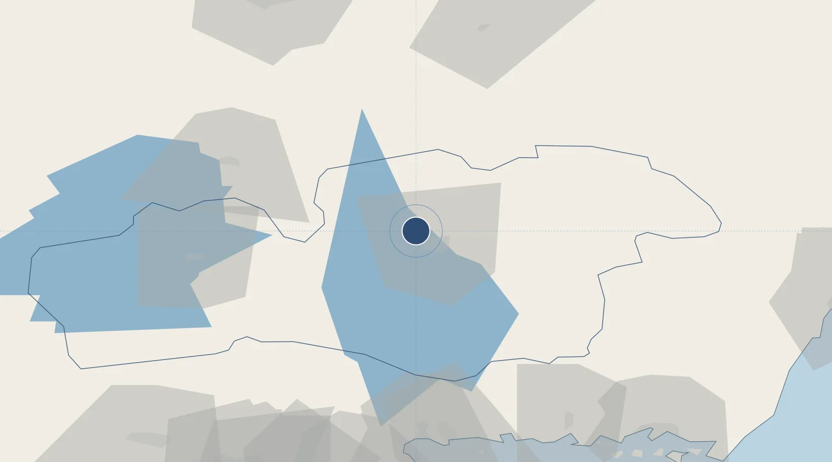
56.9291°, 14.7280°
6,900 ft
Longest runway
1
Runways
610 ft
Elevation

Runway & Layout

Växjö Kronoberg Airport runway & taxiway layout
Runway & taxiway layout — OpenStreetMap (ODbL) / OurAirports

Radio Frequencies

TWR
118.15 MHz
OurAirports

Navaids

JX NDB Vaxjo 349 kHz
VX NDB Vaxjo 329 kHz
OurAirports

Runways · 1

RunwayDimensions SurfaceTrue headingLit
01/19 6,900 × 148ft Asphalt 013°
OurAirports

Airport Specifications

IATA code
VXO
OurAirports
ICAO code
ESMX
OurAirports
Airport class
Medium airport
OurAirports
Scheduled service
Yes
OurAirports
Runway surface
Asphalt
OurAirports
Served city
Växjö
OurAirports

Location

Location of ESMX
Natural Earth 10m (public domain) · Kronoberg · ESMX · 56.93, 14.73GoogleOSMYandex

Nearby Logistics Neighbours

Airports
  1. 1Ronneby Airport81 km
  2. 2Kalmar Airport99 km
  3. 3Jönköping Airport100 km
  4. 4Kristianstad Airport119 km
  5. 5Halmstad Airport119 km
Nearest neighbours — logibook spatial index (haversine) over the source coordinates
Cities
  1. 1Moheda13 km
  2. 2Rottne14 km
  3. 3Klavreström33 km
  4. 4Rörvik35 km
  5. 5Kosta41 km
Nearest neighbours — logibook spatial index (haversine) over the source coordinates
Ports
  1. 1Karlshamn87 km
  2. 2Ronneby91 km
  3. 3Solvesborg99 km
  4. 4Karlskrona100 km
  5. 5Bergkvara104 km
Nearest neighbours — logibook spatial index (haversine) over the source coordinates
Trade Zones
  1. 1Jönköping Free Zone101 km
  2. 2MTS Malmö Transport and Spedition178 km
  3. 3Freeport of Copenhagen- Nordhavn188 km
  4. 4Gothenburg Boundless Customs Warehouse195 km
  5. 5Słupsk SEZ (Słupska SSE)310 km
Nearest neighbours — logibook spatial index (haversine) over the source coordinates
DatabookThe Record of Consolidated Knowledge
Sweden beyond logistics?
Browse databook

All Sources

AirportsOurAirports
Public domain
Portsthe NGA World Port Index
Public domain (US gov)
LocationsUN/LOCODE
UN/LOCODE — free
Trade Zonesthe World Bank SEZ database
CC BY 4.0
Trade ZonesOpen Zone Map
CC BY
InfrastructureOpenStreetMap
ODbL 1.0
← Sweden airports