UN/LOCODE hub · Sweden
SEMON

Mönsterås

57.0333°, 16.4333°
3
Transport functions

Transport Functions

Port
Rail
Road
UN/LOCODE

Hub Profile

Region
H
GeoNames

Location

Location of SEMON
Natural Earth 10m (public domain) · H · SEMON · 57.03, 16.43GoogleOSMYandex

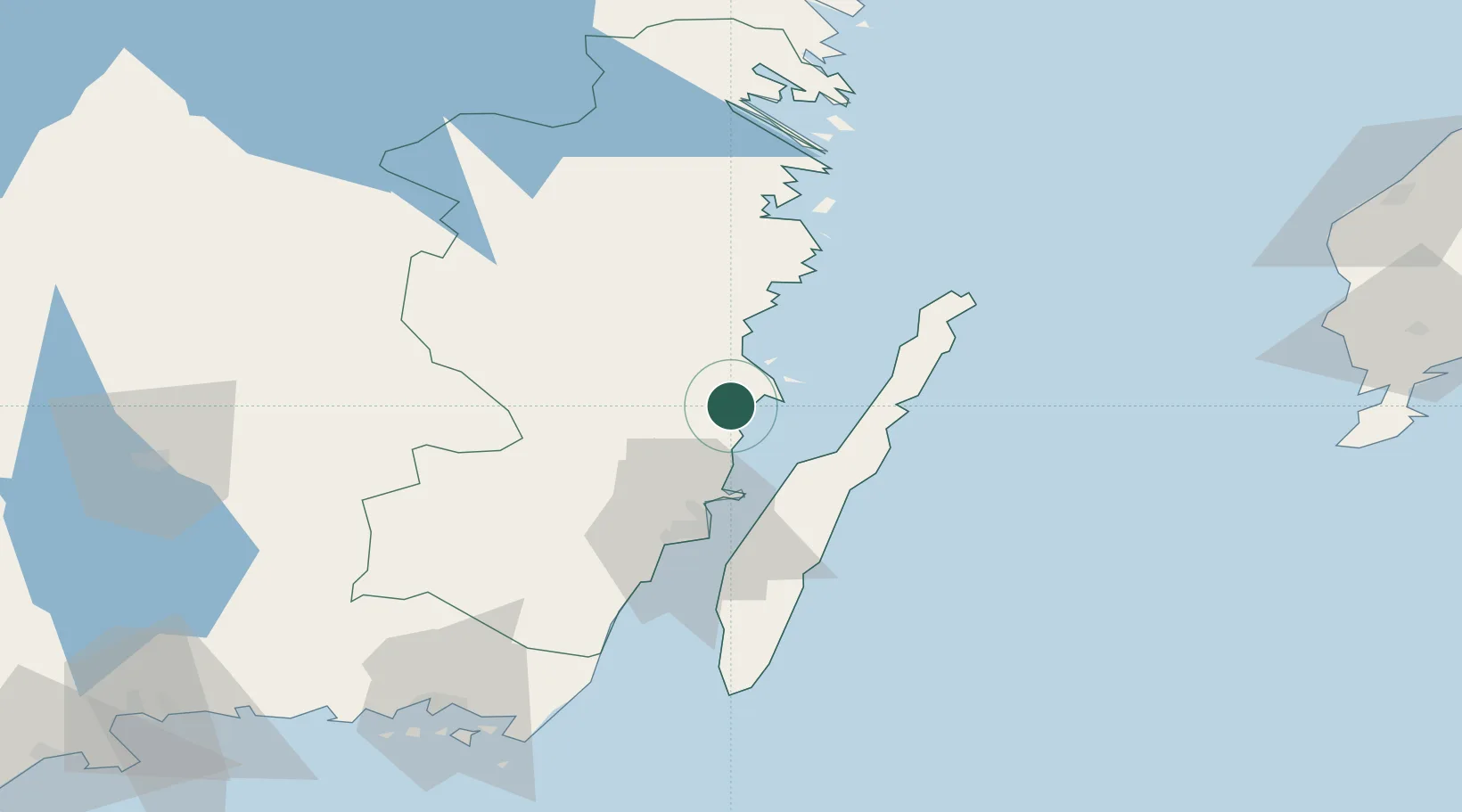
Nearby Logistics Neighbours

Cities
  1. 1Pataholm13 km
  2. 2Ruda, Högsby21 km
  3. 3Oskarshamn26 km
  4. 4Kårehamn30 km
  5. 5Kalmar41 km
Nearest neighbours — logibook spatial index (haversine) over the source coordinates
Ports
  1. 1Stora Jatterson11 km
  2. 2Oskarshamn26 km
  3. 3Figeholm37 km
  4. 4Kalmar41 km
  5. 5Bergkvara75 km
Nearest neighbours — logibook spatial index (haversine) over the source coordinates
Airports
  1. 1Kalmar Airport40 km
  2. 2Växjö Kronoberg Airport104 km
  3. 3Ronneby Airport111 km
  4. 4Visby Airport134 km
  5. 5Linköping City Airport159 km
Nearest neighbours — logibook spatial index (haversine) over the source coordinates
Trade Zones
  1. 1Jönköping Free Zone162 km
  2. 2MTS Malmö Transport and Spedition260 km
  3. 3Stockholm Free Zone276 km
  4. 4Freeport of Copenhagen- Nordhavn278 km
  5. 5Słupsk SEZ (Słupska SSE)288 km
Nearest neighbours — logibook spatial index (haversine) over the source coordinates
DatabookThe Record of Consolidated Knowledge
Sweden beyond logistics?
Browse databook

All Sources

LocationsUN/LOCODE
UN/LOCODE — free
Portsthe NGA World Port Index
Public domain (US gov)
AirportsOurAirports
Public domain
Trade Zonesthe World Bank SEZ database
CC BY 4.0
Trade ZonesOpen Zone Map
CC BY
← Sweden locations