Large airport · Sweden
Visby AirportESSV
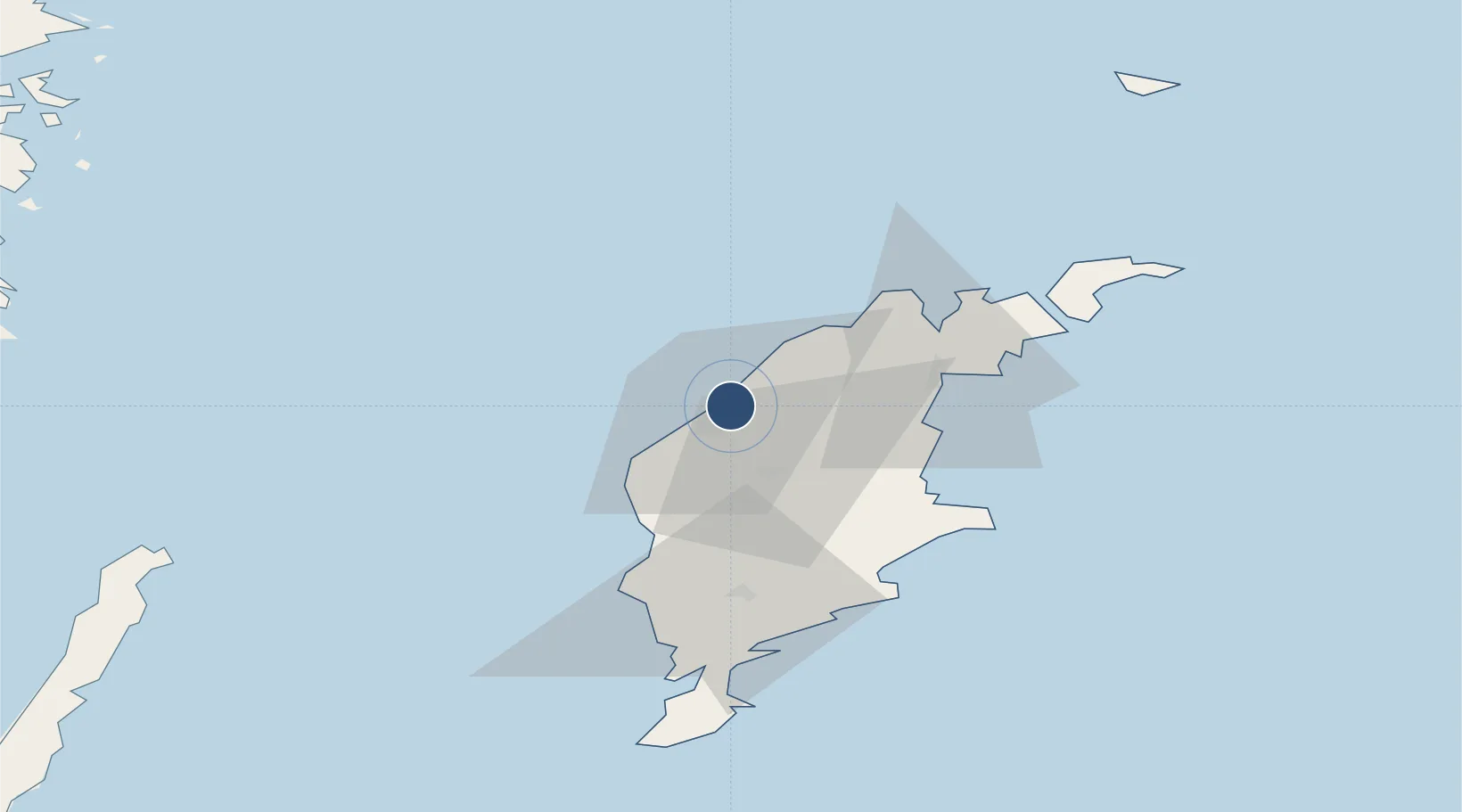
57.6628°, 18.3462°
6,562 ft
Longest runway
2
Runways
164 ft
Elevation
Runway & Layout

Radio Frequencies
TWR
120.305 MHz
Visby TWR
APP
126.155 MHz
Visby APP
Navaids
VSB VOR-DME Visby 115.10 MHz
Runways · 2
| Runway | Dimensions | Surface | True heading | Lit |
|---|---|---|---|---|
| 03/21 | 6,562 × 148ft | Asphalt | 021° | ✓ |
| 10/28 | 3,611 × 131ft | Grass | 101° | — |
Airport Specifications
IATA code
VBY
ICAO code
ESSV
Airport class
Large airport
Scheduled service
Yes
Runway surface
Asphalt
Served city
Visby
Location
Nearby Logistics Neighbours
Airports
- 1Stockholm Skavsta Airport151 km
- 2Norrköping Airport160 km
- 3Kalmar Airport165 km
- 4Stockholm-Bromma Airport190 km
- 5Liepāja International Airport209 km
Cities
- 1Visby4 km
- 2Tofta20 km
- 3Slite28 km
- 4Storugns30 km
- 5Klintehamn31 km
Ports
- 1Visby5 km
- 2Slite28 km
- 3Klintehamn32 km
- 4Storugns33 km
- 5Farosund50 km
Trade Zones
- 1Stockholm Free Zone188 km
- 2Free port of Ventspils192 km
- 3Liepāja SEZ221 km
- 4Jönköping Free Zone253 km
- 5Klaipėda Free Economic Zone302 km
DatabookThe Record of Consolidated Knowledge
Sweden beyond logistics?