Transport Functions
Port
Hub Profile
Place type
Populated place
Region
Kalmar
Time zone
Europe/Stockholm
Elevation
11 m
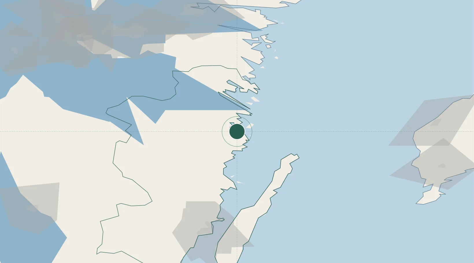
Location
Nearby Logistics Neighbours
Cities
- 1Simpevarp16 km
- 2Västervik22 km
- 3Totebo25 km
- 4Oskarshamn33 km
- 5Grankullavik39 km
Ports
- 1Verkeback21 km
- 2Figeholm21 km
- 3Vastervik24 km
- 4Oskarshamn33 km
- 5Stora Jatterson50 km
Airports
- 1Kalmar Airport98 km
- 2Visby Airport106 km
- 3Linköping City Airport109 km
- 4Malmen Air Base113 km
- 5Norrköping Airport117 km
Trade Zones
- 1Jönköping Free Zone150 km
- 2Stockholm Free Zone219 km
- 3Free port of Ventspils296 km
- 4Liepāja SEZ302 km
- 5MTS Malmö Transport and Spedition304 km
DatabookThe Record of Consolidated Knowledge
Sweden beyond logistics?