Medium airport · Sweden
Kalmar AirportESMQ
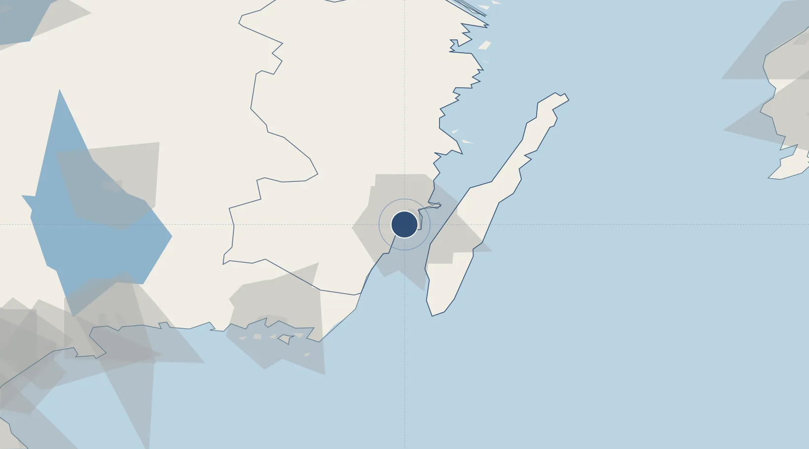
56.6855°, 16.2876°
6,726 ft
Longest runway
2
Runways
17 ft
Elevation
Runway & Layout

Radio Frequencies
TWR
130.8 MHz
Navaids
KAL VOR-DME Kalmar 111.60 MHz
Runways · 2
| Runway | Dimensions | Surface | True heading | Lit |
|---|---|---|---|---|
| 16/34 | 6,726 × 148ft | Asphalt | 152° | ✓ |
| 05/23 | 2,179 × 131ft | Asphalt | 048° | — |
Airport Specifications
IATA code
KLR
ICAO code
ESMQ
Airport class
Medium airport
Scheduled service
Yes
Runway surface
Asphalt
Served city
Kalmar
Location
Nearby Logistics Neighbours
Airports
- 1Ronneby Airport78 km
- 2Växjö Kronoberg Airport99 km
- 3Kristianstad Airport160 km
- 4Visby Airport165 km
- 5Jönköping Airport179 km
Cities
- 1Kalmar5 km
- 2Trekanten11 km
- 3Färjestaden11 km
- 4Broby19 km
- 5Mörbylånga20 km
Ports
- 1Kalmar5 km
- 2Bergkvara36 km
- 3Degerhamn38 km
- 4Stora Jatterson49 km
- 5Oskarshamn65 km
Trade Zones
- 1Jönköping Free Zone179 km
- 2MTS Malmö Transport and Spedition231 km
- 3Słupsk SEZ (Słupska SSE)251 km
- 4Freeport of Copenhagen- Nordhavn252 km
- 5Pomeranian SEZ (Pomorska SSE)291 km
DatabookThe Record of Consolidated Knowledge
Sweden beyond logistics?