Transport Functions
Port
Rail
Road
Hub Profile
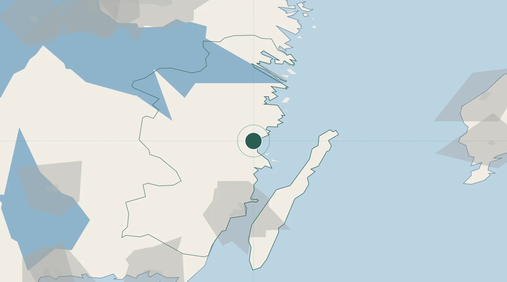
Place type
Provincial seat
Region
Kalmar
Population
18,287
Time zone
Europe/Stockholm
Elevation
22 m
Location
Nearby Logistics Neighbours
Cities
- 1Simpevarp22 km
- 2Mönsterås26 km
- 3Ruda, Högsby27 km
- 4Flivik33 km
- 5Pataholm39 km
Ports
- 1Figeholm12 km
- 2Stora Jatterson20 km
- 3Verkeback52 km
- 4Vastervik57 km
- 5Kalmar67 km
Airports
- 1Kalmar Airport65 km
- 2Växjö Kronoberg Airport110 km
- 3Visby Airport123 km
- 4Ronneby Airport132 km
- 5Linköping City Airport134 km
Trade Zones
- 1Jönköping Free Zone150 km
- 2Stockholm Free Zone251 km
- 3MTS Malmö Transport and Spedition276 km
- 4Freeport of Copenhagen- Nordhavn292 km
- 5Liepāja SEZ299 km
DatabookThe Record of Consolidated Knowledge
Sweden beyond logistics?