UN/LOCODE hub · Sweden
SEPHM

Pataholm

56.9167°, 16.4167°
2
Transport functions

Transport Functions

Port
Road
UN/LOCODE

Hub Profile

Place type
Populated place
GeoNames
Region
Kalmar
GeoNames
Time zone
Europe/Stockholm
GeoNames
Elevation
12 m
GeoNames

Location

Location of SEPHM
Natural Earth 10m (public domain) · Kalmar · SEPHM · 56.92, 16.42GoogleOSMYandex

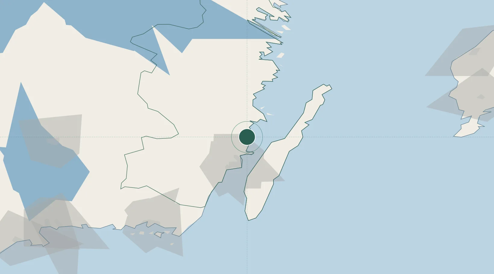
Nearby Logistics Neighbours

Cities
  1. 1Mönsterås13 km
  2. 2Ruda, Högsby27 km
  3. 3Kalmar28 km
  4. 4Kårehamn30 km
  5. 5Färjestaden30 km
Nearest neighbours — logibook spatial index (haversine) over the source coordinates
Ports
  1. 1Stora Jatterson22 km
  2. 2Kalmar28 km
  3. 3Oskarshamn39 km
  4. 4Figeholm50 km
  5. 5Bergkvara62 km
Nearest neighbours — logibook spatial index (haversine) over the source coordinates
Airports
  1. 1Kalmar Airport27 km
  2. 2Ronneby Airport101 km
  3. 3Växjö Kronoberg Airport103 km
  4. 4Visby Airport143 km
  5. 5Jönköping Airport169 km
Nearest neighbours — logibook spatial index (haversine) over the source coordinates
Trade Zones
  1. 1Jönköping Free Zone168 km
  2. 2MTS Malmö Transport and Spedition252 km
  3. 3Freeport of Copenhagen- Nordhavn271 km
  4. 4Słupsk SEZ (Słupska SSE)275 km
  5. 5Stockholm Free Zone288 km
Nearest neighbours — logibook spatial index (haversine) over the source coordinates
DatabookThe Record of Consolidated Knowledge
Sweden beyond logistics?
Browse databook

All Sources

LocationsUN/LOCODE
UN/LOCODE — free
Portsthe NGA World Port Index
Public domain (US gov)
AirportsOurAirports
Public domain
Trade Zonesthe World Bank SEZ database
CC BY 4.0
Trade ZonesOpen Zone Map
CC BY
← Sweden locations