Transport Functions
Port
Hub Profile
Place type
Populated place
Region
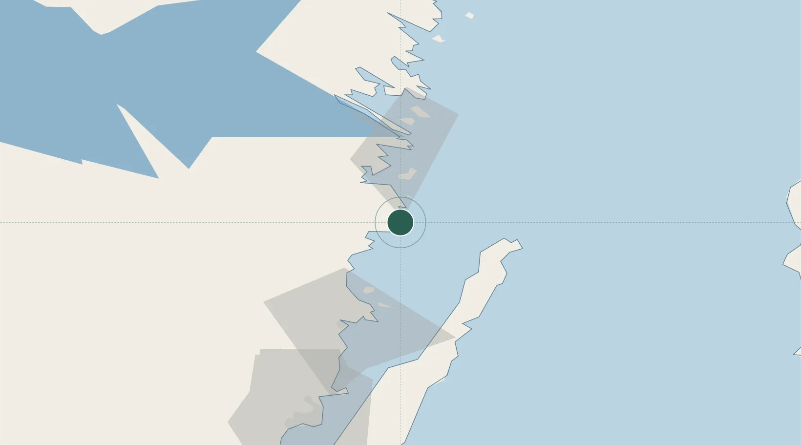
Kalmar
Time zone
Europe/Stockholm
Elevation
8 m
Location
Nearby Logistics Neighbours
Cities
- 1Flivik16 km
- 2Oskarshamn22 km
- 3Grankullavik28 km
- 4Totebo37 km
- 5Västervik37 km
Ports
- 1Figeholm11 km
- 2Oskarshamn21 km
- 3Stora Jatterson36 km
- 4Verkeback36 km
- 5Vastervik39 km
Airports
- 1Kalmar Airport85 km
- 2Visby Airport104 km
- 3Linköping City Airport124 km
- 4Malmen Air Base128 km
- 5Växjö Kronoberg Airport129 km
Trade Zones
- 1Jönköping Free Zone158 km
- 2Stockholm Free Zone231 km
- 3Free port of Ventspils291 km
- 4Liepāja SEZ292 km
- 5MTS Malmö Transport and Spedition298 km
DatabookThe Record of Consolidated Knowledge
Sweden beyond logistics?