Transport Functions
Rail
Road
Multimodal
Hub Profile
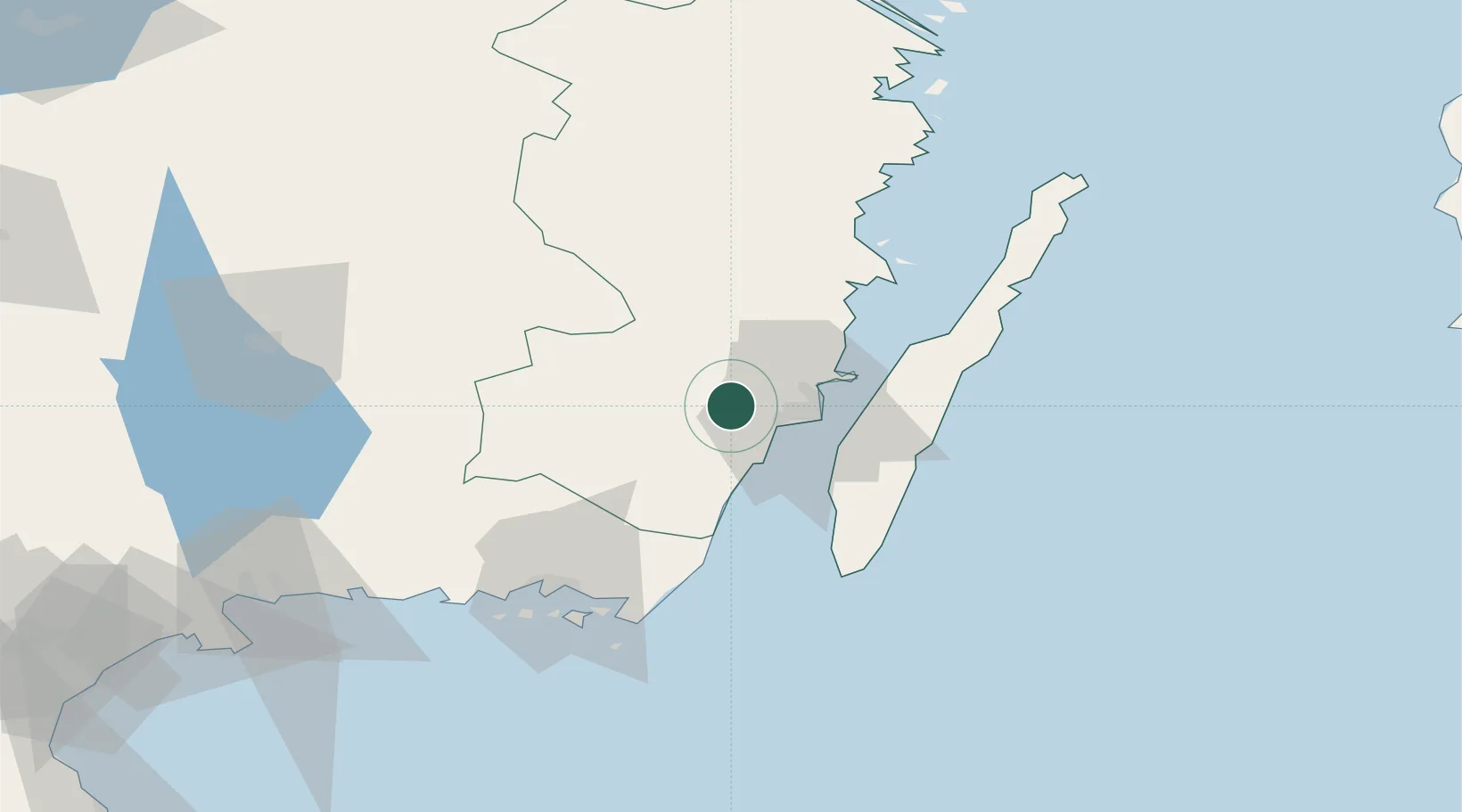
Place type
Populated place
Region
Kalmar
Population
1,599
Time zone
Europe/Stockholm
Elevation
37 m
Location
Nearby Logistics Neighbours
Cities
- 1Kalmar16 km
- 2Broby19 km
- 3Färjestaden21 km
- 4Mörbylånga26 km
- 5Pataholm30 km
Ports
- 1Kalmar16 km
- 2Bergkvara35 km
- 3Degerhamn43 km
- 4Stora Jatterson52 km
- 5Oskarshamn66 km
Airports
- 1Kalmar Airport11 km
- 2Ronneby Airport71 km
- 3Växjö Kronoberg Airport88 km
- 4Kristianstad Airport152 km
- 5Jönköping Airport170 km
Trade Zones
- 1Jönköping Free Zone170 km
- 2MTS Malmö Transport and Spedition223 km
- 3Freeport of Copenhagen- Nordhavn243 km
- 4Słupsk SEZ (Słupska SSE)255 km
- 5Pomeranian SEZ (Pomorska SSE)297 km
DatabookThe Record of Consolidated Knowledge
Sweden beyond logistics?