Transport Functions
Multimodal
Hub Profile
Place type
Populated place
Region
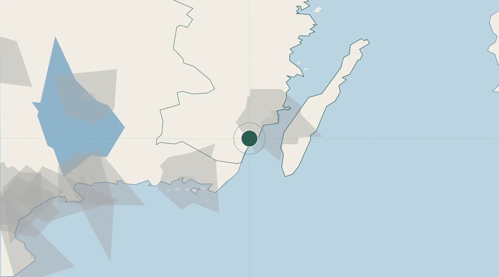
Kalmar
Time zone
Europe/Stockholm
Elevation
18 m
Location
Nearby Logistics Neighbours
Cities
- 1Mörbylånga15 km
- 2Bergkvara17 km
- 3Trekanten19 km
- 4Kalmar21 km
- 5Färjestaden23 km
Ports
- 1Bergkvara17 km
- 2Kalmar21 km
- 3Degerhamn27 km
- 4Karlskrona52 km
- 5Ronneby65 km
Airports
- 1Kalmar Airport19 km
- 2Ronneby Airport61 km
- 3Växjö Kronoberg Airport96 km
- 4Kristianstad Airport144 km
- 5Visby Airport183 km
Trade Zones
- 1Jönköping Free Zone184 km
- 2MTS Malmö Transport and Spedition215 km
- 3Słupsk SEZ (Słupska SSE)237 km
- 4Freeport of Copenhagen- Nordhavn237 km
- 5Pomeranian SEZ (Pomorska SSE)280 km
DatabookThe Record of Consolidated Knowledge
Sweden beyond logistics?