Transport Functions
Port
Road
Hub Profile
Place type
Urban district
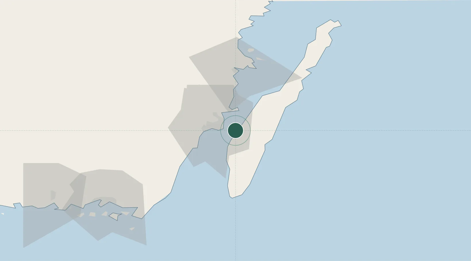
Region
Västra Götaland
Time zone
Europe/Stockholm
Elevation
9 m
Location
Nearby Logistics Neighbours
Cities
- 1Kalmar5 km
- 2Mörbylånga15 km
- 3Trekanten21 km
- 4Broby23 km
- 5Pataholm30 km
Ports
- 1Kalmar5 km
- 2Degerhamn33 km
- 3Bergkvara37 km
- 4Stora Jatterson51 km
- 5Oskarshamn69 km
Airports
- 1Kalmar Airport11 km
- 2Ronneby Airport84 km
- 3Växjö Kronoberg Airport109 km
- 4Visby Airport161 km
- 5Kristianstad Airport167 km
Trade Zones
- 1Jönköping Free Zone189 km
- 2MTS Malmö Transport and Spedition238 km
- 3Słupsk SEZ (Słupska SSE)246 km
- 4Freeport of Copenhagen- Nordhavn260 km
- 5Liepāja SEZ283 km
DatabookThe Record of Consolidated Knowledge
Sweden beyond logistics?