UN/LOCODE hub · Sweden
SEMOR

Mörbylånga

56.5167°, 16.3833°
1
Transport functions

Transport Functions

Port
UN/LOCODE

Hub Profile

Region
H
GeoNames

Location

Location of SEMOR
Natural Earth 10m (public domain) · H · SEMOR · 56.52, 16.38GoogleOSMYandex

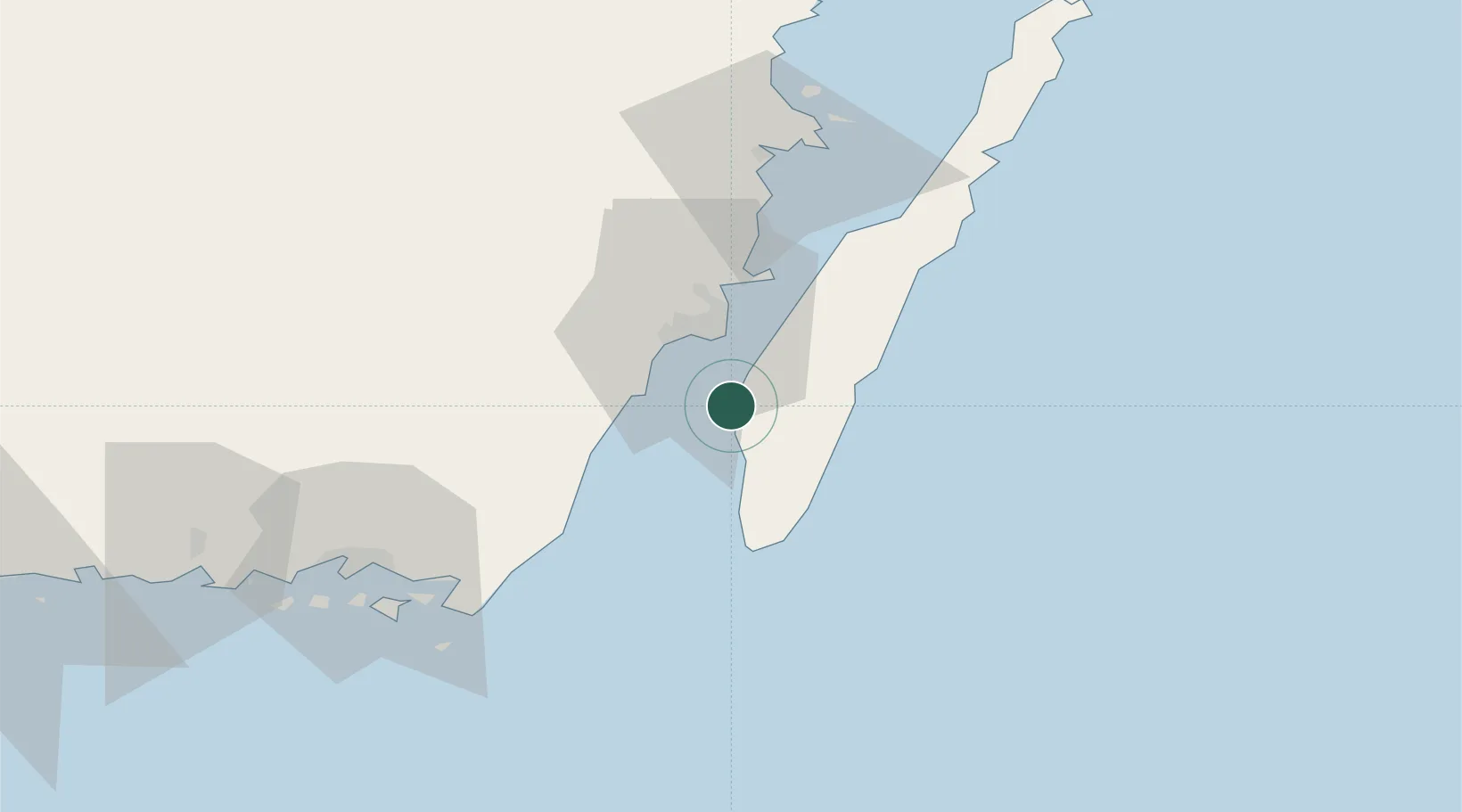
Nearby Logistics Neighbours

Cities
  1. 1Färjestaden15 km
  2. 2Broby15 km
  3. 3Kalmar17 km
  4. 4Bergkvara24 km
  5. 5Trekanten26 km
Nearest neighbours — logibook spatial index (haversine) over the source coordinates
Ports
  1. 1Kalmar17 km
  2. 2Degerhamn19 km
  3. 3Bergkvara23 km
  4. 4Karlskrona62 km
  5. 5Stora Jatterson66 km
Nearest neighbours — logibook spatial index (haversine) over the source coordinates
Airports
  1. 1Kalmar Airport20 km
  2. 2Ronneby Airport74 km
  3. 3Växjö Kronoberg Airport111 km
  4. 4Kristianstad Airport157 km
  5. 5Visby Airport174 km
Nearest neighbours — logibook spatial index (haversine) over the source coordinates
Trade Zones
  1. 1Jönköping Free Zone196 km
  2. 2MTS Malmö Transport and Spedition228 km
  3. 3Słupsk SEZ (Słupska SSE)232 km
  4. 4Freeport of Copenhagen- Nordhavn251 km
  5. 5Pomeranian SEZ (Pomorska SSE)271 km
Nearest neighbours — logibook spatial index (haversine) over the source coordinates
DatabookThe Record of Consolidated Knowledge
Sweden beyond logistics?
Browse databook

All Sources

LocationsUN/LOCODE
UN/LOCODE — free
Portsthe NGA World Port Index
Public domain (US gov)
AirportsOurAirports
Public domain
Trade Zonesthe World Bank SEZ database
CC BY 4.0
Trade ZonesOpen Zone Map
CC BY
← Sweden locations