Specialized Zone · Poland

Pomeranian SEZ (Pomorska SSE) Active
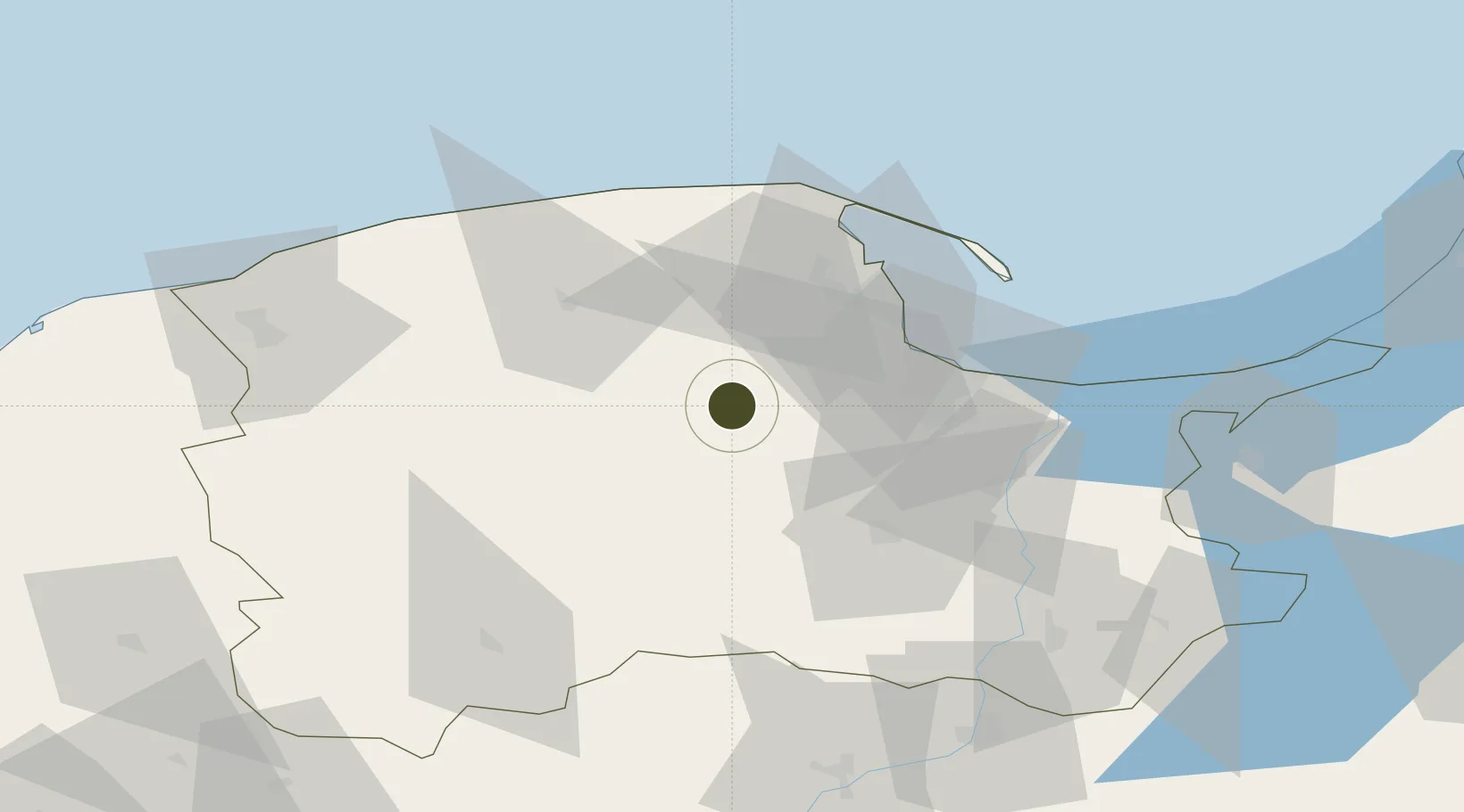
54.2944°, 18.1531°
1,738 ha
Zone area
33.9 km
Nearest port
22.3 km
Nearest airport

Gateway access

Nearest neighbours — logibook spatial index (haversine) over the source coordinates

Zone profile

Zone type
Specialized Zone
Open Zone Map
Specialization
Tech
Open Zone Map
Region
Pomeranian
Open Zone Map
Status
Active
Open Zone Map
Management
Public
Open Zone Map
Operator
Pomeranian Special Economic Zone Ltd.
Open Zone Map
Legal framework
Act of 30 April 2004 on the procedure in matters relating to state aid
Open Zone Map

Location

Location of ozm-3976
Natural Earth 10m (public domain) · Pomeranian · ozm-3976 · 54.29, 18.15GoogleOSMYandex

Nearby Logistics Neighbours

Ports
  1. 1Gdansk34 km
  2. 2Nowy Port36 km
  3. 3Gdynia37 km
  4. 4Ustka90 km
  5. 5Darlowo114 km
Nearest neighbours — logibook spatial index (haversine) over the source coordinates
Airports
  1. 1Gdańsk Lech Wałęsa Airport22 km
  2. 2Cewice Naval Air Base29 km
  3. 3Malbork Królewo Air Base71 km
  4. 4Ignacy Jan Paderewski Bydgoszcz Airport134 km
  5. 5Kaliningrad Chkalovsk Naval Air Base154 km
Nearest neighbours — logibook spatial index (haversine) over the source coordinates
Cities
  1. 1Chmielno4 km
  2. 2Kartuzy5 km
  3. 3Kielpino5 km
  4. 4Stezyca15 km
  5. 5Zukowo15 km
Nearest neighbours — logibook spatial index (haversine) over the source coordinates
Trade Zones
  1. 1Gdansk Port Duty Free Zone35 km
  2. 2Słupsk SEZ (Słupska SSE)75 km
  3. 3Warmian-Masurian SEZ (Warmińsko-Mazurska SSE)162 km
  4. 4Klaipėda Free Economic Zone227 km
  5. 5Szczecin Duty Free Zone254 km
Nearest neighbours — logibook spatial index (haversine) over the source coordinates
DatabookThe Record of Consolidated Knowledge
Poland beyond logistics?
Browse databook

All Sources

Trade ZonesOpen Zone Map
CC BY
Portsthe NGA World Port Index
Public domain (US gov)
AirportsOurAirports
Public domain
LocationsUN/LOCODE
UN/LOCODE — free
← Poland trade zones