Transport Functions
Port
Rail
Road
Airport
Hub Profile
Place type
Regional capital
Region
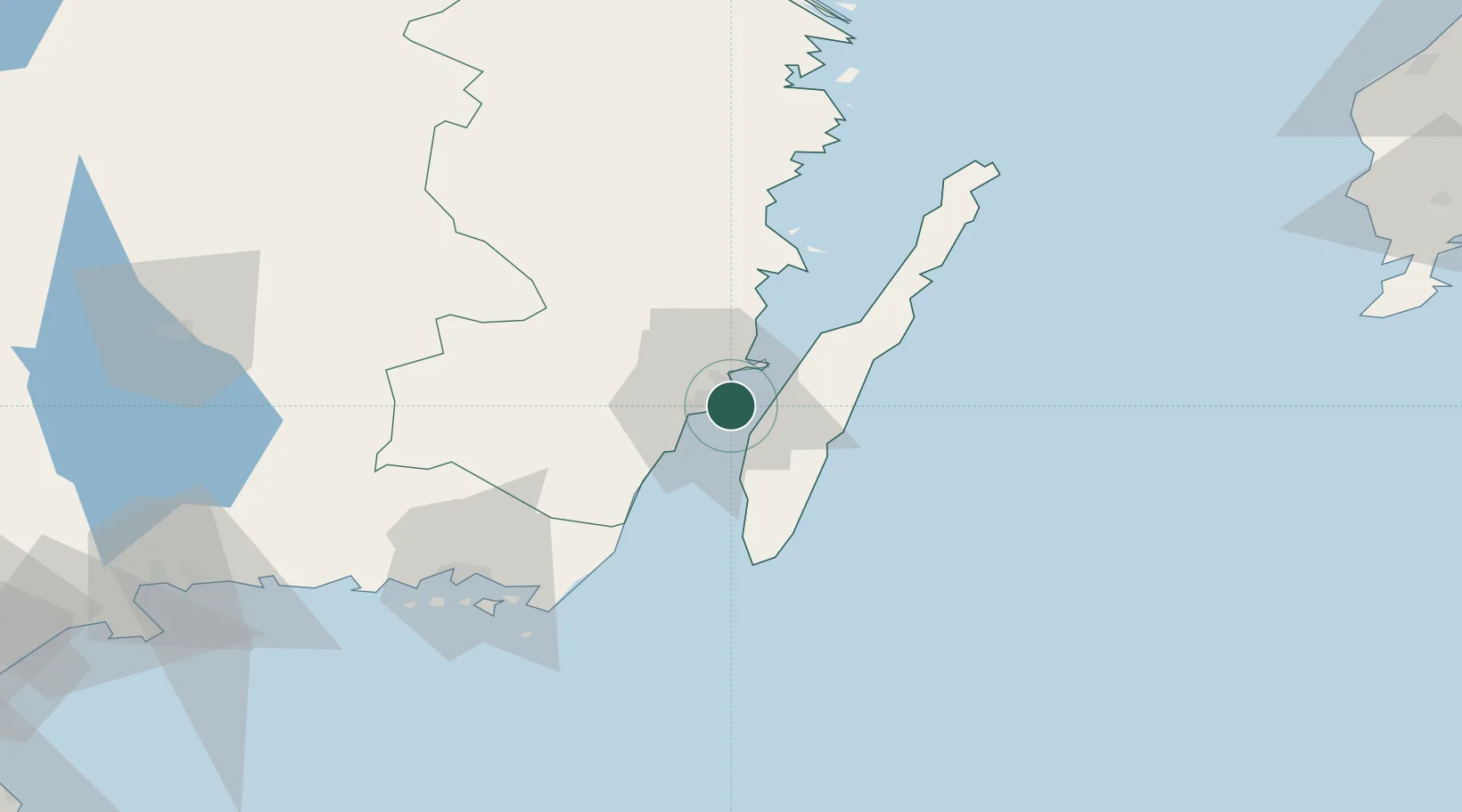
Kalmar
Population
38,408
Time zone
Europe/Stockholm
Elevation
7 m
Location
Nearby Logistics Neighbours
Cities
- 1Färjestaden5 km
- 2Trekanten16 km
- 3Mörbylånga17 km
- 4Broby21 km
- 5Pataholm28 km
Ports
- 1Degerhamn35 km
- 2Bergkvara36 km
- 3Stora Jatterson50 km
- 4Oskarshamn67 km
- 5Karlskrona73 km
Airports
- 1Kalmar Airport5 km
- 2Ronneby Airport81 km
- 3Växjö Kronoberg Airport104 km
- 4Visby Airport163 km
- 5Kristianstad Airport163 km
Trade Zones
- 1Jönköping Free Zone184 km
- 2MTS Malmö Transport and Spedition235 km
- 3Słupsk SEZ (Słupska SSE)248 km
- 4Freeport of Copenhagen- Nordhavn256 km
- 5Pomeranian SEZ (Pomorska SSE)287 km
DatabookThe Record of Consolidated Knowledge
Sweden beyond logistics?