Channel & Berth Profile
Pilotage, Tugs & Services
Pilotage compulsoryYES
Pilotage availableYES
Pilotage advisableYES
Tug assistanceYES
Potable waterYES
Diesel bunkersYES
Facilities & Capabilities
Container—
Ro-Ro—
Liquid bulk—
Dry bulk—
Oil terminal—
Break bulk—
Dry dock—
Repairs—
BunkeringYES
Rail linkYES
Dangerous cargo—
ISPS security—
Harbour Specifications
Harbour size
Very Small
Harbour type
Coastal (Natural)
Shelter
Good
Water body
Gulf of Bothnia; Baltic Sea; North Atlantic Ocean
Pilotage
Yes
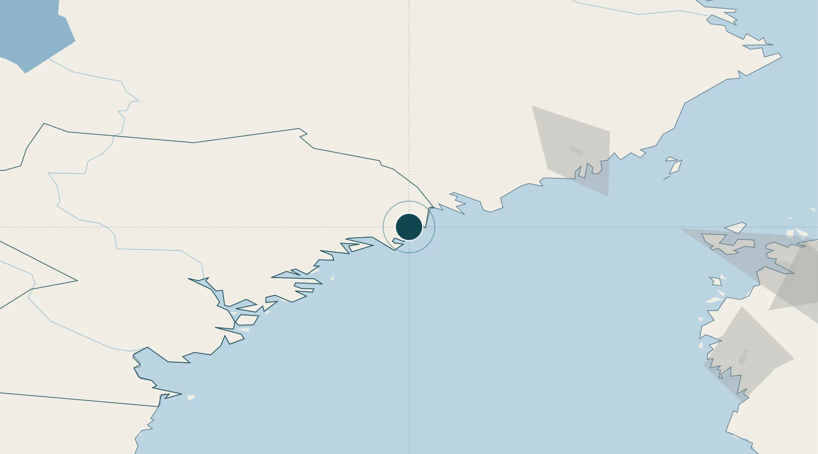
Location
Nearby Logistics Neighbours
Ports
- 1Domsjo22 km
- 2Ornskoldsvik22 km
- 3Rundvik27 km
- 4Nordmaling31 km
- 5Kopmanholmen34 km
Cities
- 1Skagshamn15 km
- 2Lugnvik22 km
- 3Örnsköldsvik22 km
- 4Rundvik26 km
- 5Köpmanholmen35 km
Airports
- 1Örnsköldsvik Airport12 km
- 2Umeå Airport76 km
- 3Kramfors-Sollefteå Höga Kusten Airport76 km
- 4Sundsvall-Härnösand Airport124 km
- 5Vaasa Airport135 km
Trade Zones
- 1Oulu Port Free Warehouse Area355 km
- 2Turku Free Zone359 km
- 3Freeport of Hanko437 km
- 4Stockholm Free Zone447 km
- 5Paldiski Free Zone516 km
DatabookThe Record of Consolidated Knowledge
Sweden beyond logistics?