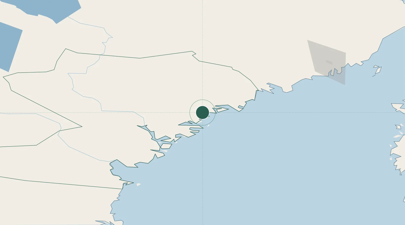
UN/LOCODE hub · Sweden
SEKMH

Köpmanholmen

63.1667°, 18.5667°
1
Transport functions

Transport Functions

Port
Köpmanholmen is also a profiled seaport →
UN/LOCODE

Hub Profile

Region
Y
GeoNames

Location

Location of SEKMH
Natural Earth 10m (public domain) · Y · SEKMH · 63.17, 18.57GoogleOSMYandex

Nearby Logistics Neighbours

Cities
  1. 1Lugnvik15 km
  2. 2Örnsköldsvik17 km
  3. 3Skagshamn23 km
  4. 4Husum35 km
  5. 5Noraström43 km
Nearest neighbours — logibook spatial index (haversine) over the source coordinates
Ports
  1. 1Domsjo14 km
  2. 2Ornskoldsvik15 km
  3. 3Husum35 km
  4. 4Kramfors47 km
  5. 5Bollstabruk47 km
Nearest neighbours — logibook spatial index (haversine) over the source coordinates
Airports
  1. 1Örnsköldsvik Airport34 km
  2. 2Kramfors-Sollefteå Höga Kusten Airport42 km
  3. 3Sundsvall-Härnösand Airport91 km
  4. 4Umeå Airport110 km
  5. 5Lycksele Airport154 km
Nearest neighbours — logibook spatial index (haversine) over the source coordinates
Trade Zones
  1. 1Turku Free Zone358 km
  2. 2Oulu Port Free Warehouse Area390 km
  3. 3Stockholm Free Zone425 km
  4. 4Freeport of Hanko436 km
  5. 5Paldiski Free Zone518 km
Nearest neighbours — logibook spatial index (haversine) over the source coordinates
DatabookThe Record of Consolidated Knowledge
Sweden beyond logistics?
Browse databook

All Sources

LocationsUN/LOCODE
UN/LOCODE — free
Portsthe NGA World Port Index
Public domain (US gov)
AirportsOurAirports
Public domain
Trade Zonesthe World Bank SEZ database
CC BY 4.0
Trade ZonesOpen Zone Map
CC BY
← Sweden locations