Transport Functions
Port
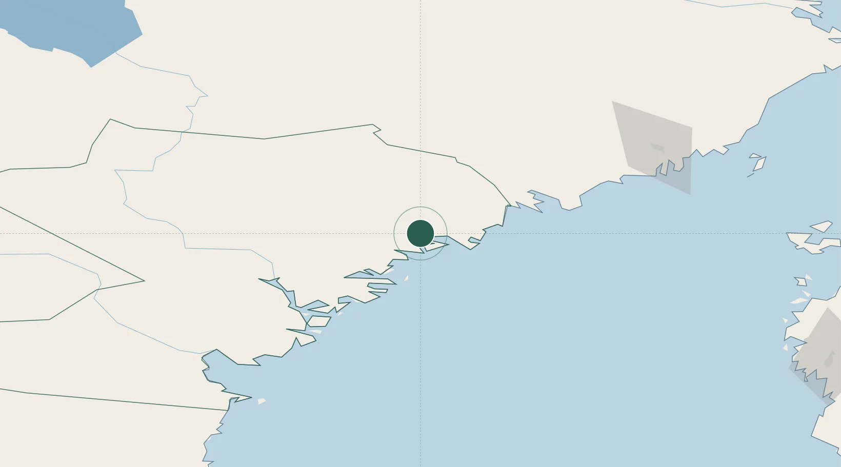
Hub Profile
Place type
Populated place
Region
Västernorrland
Time zone
Europe/Stockholm
Location
Nearby Logistics Neighbours
Cities
- 1Örnsköldsvik2 km
- 2Köpmanholmen15 km
- 3Skagshamn16 km
- 4Husum22 km
- 5Rundvik45 km
Ports
- 1Ornskoldsvik1 km
- 2Domsjo2 km
- 3Kopmanholmen15 km
- 4Husum22 km
- 5Rundvik45 km
Airports
- 1Örnsköldsvik Airport19 km
- 2Kramfors-Sollefteå Höga Kusten Airport55 km
- 3Umeå Airport95 km
- 4Sundsvall-Härnösand Airport106 km
- 5Lycksele Airport141 km
Trade Zones
- 1Turku Free Zone365 km
- 2Oulu Port Free Warehouse Area376 km
- 3Stockholm Free Zone439 km
- 4Freeport of Hanko442 km
- 5Paldiski Free Zone523 km
DatabookThe Record of Consolidated Knowledge
Sweden beyond logistics?