Medium airport · Sweden

Sundsvall-Härnösand AirportESNN
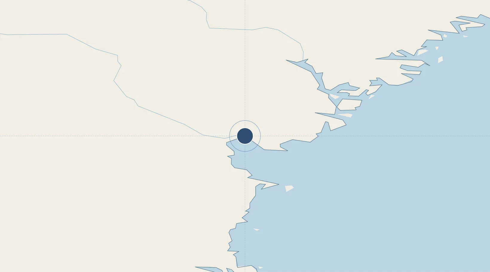
62.5281°, 17.4439°
6,857 ft
Longest runway
1
Runways
16 ft
Elevation

Runway & Layout

Sundsvall-Härnösand Airport runway & taxiway layout
Runway & taxiway layout — OpenStreetMap (ODbL) / OurAirports

Radio Frequencies

ATIS
127.4 MHz
TWR
129.55 MHz
OurAirports

Navaids

SUN VOR-DME Sundsvall 113.10 MHz
OurAirports

Runways · 1

RunwayDimensions SurfaceTrue headingLit
16/34 6,857 × 148ft Asphalt 160°
OurAirports

Airport Specifications

IATA code
SDL
OurAirports
ICAO code
ESNN
OurAirports
Airport class
Medium airport
OurAirports
Scheduled service
Yes
OurAirports
Runway surface
Asphalt
OurAirports
Served city
Sundsvall/ Härnösand
OurAirports

Location

Location of ESNN
Natural Earth 10m (public domain) · Västernorrland · ESNN · 62.53, 17.44GoogleOSMYandex

Nearby Logistics Neighbours

Airports
  1. 1Kramfors-Sollefteå Höga Kusten Airport60 km
  2. 2Örnsköldsvik Airport125 km
  3. 3Söderhamn Airport142 km
  4. 4Sveg Airport165 km
  5. 5Åre Östersund Airport166 km
Nearest neighbours — logibook spatial index (haversine) over the source coordinates
Cities
  1. 1Söråker4 km
  2. 2Östrand10 km
  3. 3Sundsbruk10 km
  4. 4Sundsvall14 km
  5. 5Tunadal15 km
Nearest neighbours — logibook spatial index (haversine) over the source coordinates
Ports
  1. 1Soraker4 km
  2. 2Vivstavarv7 km
  3. 3Sundsvall17 km
  4. 4Stockvik22 km
  5. 5Harnosand28 km
Nearest neighbours — logibook spatial index (haversine) over the source coordinates
Trade Zones
  1. 1Turku Free Zone343 km
  2. 2Stockholm Free Zone355 km
  3. 3Freeport of Hanko418 km
  4. 4Oulu Port Free Warehouse Area478 km
  5. 5Paldiski Free Zone504 km
Nearest neighbours — logibook spatial index (haversine) over the source coordinates
DatabookThe Record of Consolidated Knowledge
Sweden beyond logistics?
Browse databook

All Sources

AirportsOurAirports
Public domain
Portsthe NGA World Port Index
Public domain (US gov)
LocationsUN/LOCODE
UN/LOCODE — free
Trade Zonesthe World Bank SEZ database
CC BY 4.0
Trade ZonesOpen Zone Map
CC BY
InfrastructureOpenStreetMap
ODbL 1.0
← Sweden airports