Transport Functions
Port
Hub Profile
Place type
Populated place
Region
Västernorrland
Population
1,563
Time zone
Europe/Stockholm
Elevation
2 m
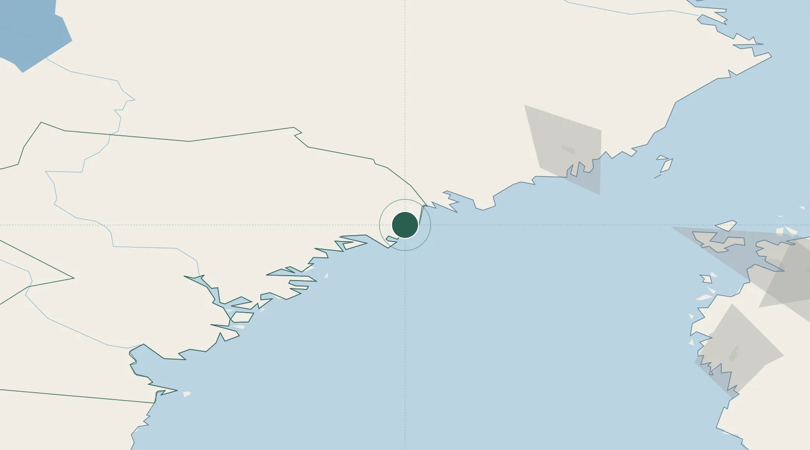
Location
Nearby Logistics Neighbours
Cities
- 1Skagshamn15 km
- 2Lugnvik22 km
- 3Örnsköldsvik23 km
- 4Rundvik26 km
- 5Köpmanholmen35 km
Ports
- 1Domsjo23 km
- 2Ornskoldsvik23 km
- 3Rundvik26 km
- 4Nordmaling30 km
- 5Kopmanholmen35 km
Airports
- 1Örnsköldsvik Airport12 km
- 2Umeå Airport75 km
- 3Kramfors-Sollefteå Höga Kusten Airport77 km
- 4Sundsvall-Härnösand Airport125 km
- 5Vaasa Airport134 km
Trade Zones
- 1Oulu Port Free Warehouse Area355 km
- 2Turku Free Zone359 km
- 3Freeport of Hanko436 km
- 4Stockholm Free Zone447 km
- 5Paldiski Free Zone516 km
DatabookThe Record of Consolidated Knowledge
Sweden beyond logistics?