Transport Functions
Port
Hub Profile
Place type
Populated place
Region
Västernorrland
Time zone
Europe/Stockholm
Elevation
2 m
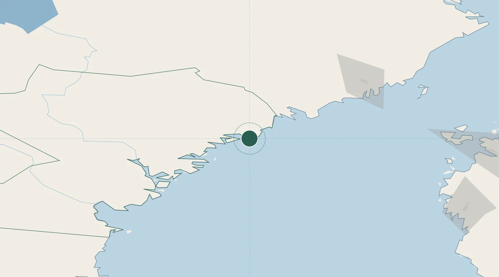
Location
Nearby Logistics Neighbours
Cities
- 1Husum15 km
- 2Lugnvik16 km
- 3Örnsköldsvik18 km
- 4Köpmanholmen23 km
- 5Rundvik41 km
Ports
- 1Husum15 km
- 2Domsjo15 km
- 3Ornskoldsvik17 km
- 4Kopmanholmen22 km
- 5Rundvik41 km
Airports
- 1Örnsköldsvik Airport21 km
- 2Kramfors-Sollefteå Höga Kusten Airport65 km
- 3Umeå Airport90 km
- 4Sundsvall-Härnösand Airport111 km
- 5Vaasa Airport139 km
Trade Zones
- 1Turku Free Zone351 km
- 2Oulu Port Free Warehouse Area368 km
- 3Freeport of Hanko429 km
- 4Stockholm Free Zone433 km
- 5Paldiski Free Zone509 km
DatabookThe Record of Consolidated Knowledge
Sweden beyond logistics?