UN/LOCODE hub · Sweden
SEOER

Örnsköldsvik

63.3000°, 18.7167°
4
Transport functions

Transport Functions

Port
Rail
Road
Airport
Örnsköldsvik is also a profiled seaport →
UN/LOCODE

Hub Profile

Region
Y
GeoNames

Location

Location of SEOER
Natural Earth 10m (public domain) · Y · SEOER · 63.30, 18.72GoogleOSMYandex

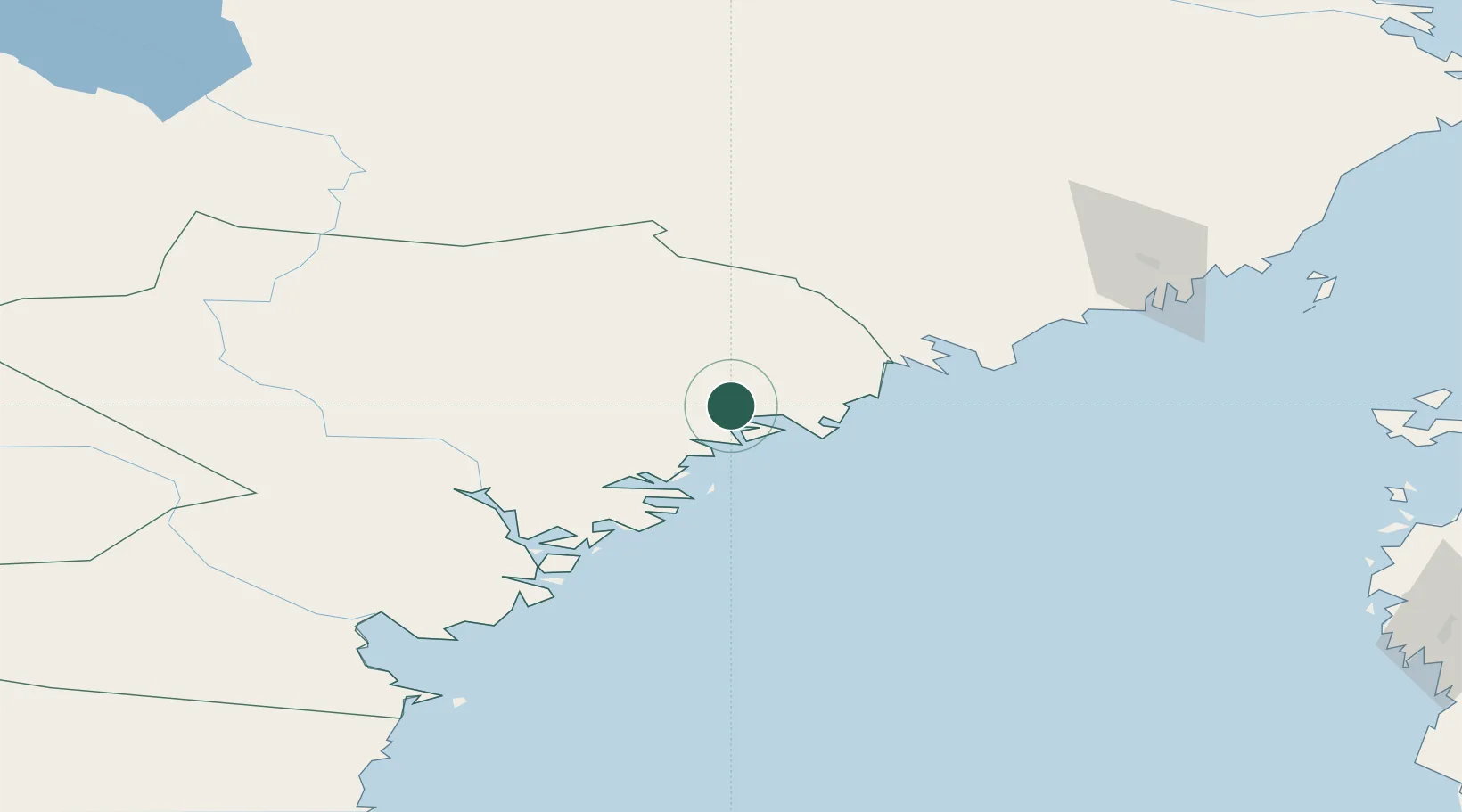
Nearby Logistics Neighbours

Cities
  1. 1Lugnvik2 km
  2. 2Köpmanholmen17 km
  3. 3Skagshamn18 km
  4. 4Husum23 km
  5. 5Rundvik44 km
Nearest neighbours — logibook spatial index (haversine) over the source coordinates
Ports
  1. 1Domsjo4 km
  2. 2Kopmanholmen16 km
  3. 3Husum22 km
  4. 4Rundvik45 km
  5. 5Nordmaling48 km
Nearest neighbours — logibook spatial index (haversine) over the source coordinates
Airports
  1. 1Örnsköldsvik Airport18 km
  2. 2Kramfors-Sollefteå Höga Kusten Airport55 km
  3. 3Umeå Airport95 km
  4. 4Sundsvall-Härnösand Airport107 km
  5. 5Lycksele Airport139 km
Nearest neighbours — logibook spatial index (haversine) over the source coordinates
Trade Zones
  1. 1Turku Free Zone367 km
  2. 2Oulu Port Free Warehouse Area375 km
  3. 3Stockholm Free Zone441 km
  4. 4Freeport of Hanko444 km
  5. 5Paldiski Free Zone525 km
Nearest neighbours — logibook spatial index (haversine) over the source coordinates
DatabookThe Record of Consolidated Knowledge
Sweden beyond logistics?
Browse databook

All Sources

LocationsUN/LOCODE
UN/LOCODE — free
Portsthe NGA World Port Index
Public domain (US gov)
AirportsOurAirports
Public domain
Trade Zonesthe World Bank SEZ database
CC BY 4.0
Trade ZonesOpen Zone Map
CC BY
← Sweden locations