Transport Functions
Port
Road
Hub Profile
Place type
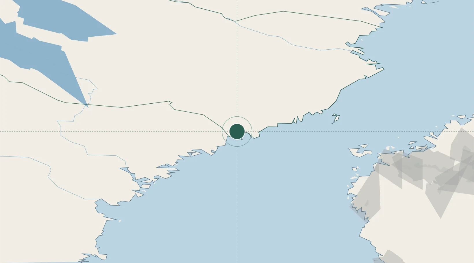
Populated place
Region
Västerbotten
Population
810
Time zone
Europe/Stockholm
Elevation
21 m
Location
Nearby Logistics Neighbours
Cities
- 1Nordmaling15 km
- 2Hörnefors26 km
- 3Husum26 km
- 4Skagshamn41 km
- 5Örnsköldsvik44 km
Ports
- 1Nordmaling5 km
- 2Husum26 km
- 3Ornskoldsvik45 km
- 4Domsjo46 km
- 5Obbola48 km
Airports
- 1Örnsköldsvik Airport26 km
- 2Umeå Airport51 km
- 3Kramfors-Sollefteå Höga Kusten Airport99 km
- 4Lycksele Airport118 km
- 5Vaasa Airport128 km
Trade Zones
- 1Oulu Port Free Warehouse Area331 km
- 2Turku Free Zone373 km
- 3Freeport of Hanko450 km
- 4Stockholm Free Zone471 km
- 5Port of Hamina-Kotka519 km
DatabookThe Record of Consolidated Knowledge
Sweden beyond logistics?