Channel & Berth Profile
Pilotage, Tugs & Services
Pilotage compulsoryYES
Pilotage availableYES
Pilotage advisableYES
Tug assistanceYES
Potable waterYES
Diesel bunkersYES
MedicalYES
Garbage disposalYES
Facilities & Capabilities
ContainerYES
Ro-RoYES
Liquid bulkYES
Dry bulkYES
Oil terminalNO
Break bulkYES
Dry dockNO
RepairsNO
BunkeringYES
Rail linkYES
Dangerous cargo—
ISPS security—
Harbour Specifications
Harbour size
Small
Harbour type
Coastal (Natural)
Shelter
Excellent
Water body
Gulf of Bothnia; Baltic Sea; North Atlantic Ocean
Tidal range
1 m
Overhead limit
Yes
Pilotage
Yes
Liner Connectivity
12.4
PLSCI
Port Liner Shipping Connectivity Index for Harnosand, as published by UNCTAD for the latest available quarter. Higher values indicate stronger scheduled liner-shipping integration.
Shown relative to the highest per-port PLSCI in the dataset (1,657.9).
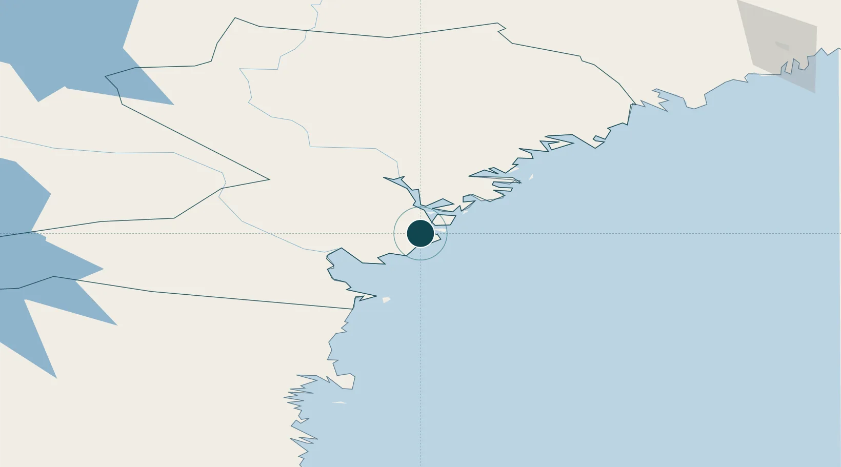
Location
Nearby Logistics Neighbours
Ports
- 1Utansjo15 km
- 2Gustavsvik22 km
- 3Soraker27 km
- 4Kramfors34 km
- 5Vivstavarv34 km
Cities
- 1Gustavsvik22 km
- 2Noraström26 km
- 3Söråker27 km
- 4Kramfors34 km
- 5Sundsbruk36 km
Airports
- 1Sundsvall-Härnösand Airport28 km
- 2Kramfors-Sollefteå Höga Kusten Airport47 km
- 3Örnsköldsvik Airport101 km
- 4Söderhamn Airport159 km
- 5Åre Östersund Airport184 km
Trade Zones
- 1Turku Free Zone333 km
- 2Stockholm Free Zone365 km
- 3Freeport of Hanko409 km
- 4Oulu Port Free Warehouse Area451 km
- 5Paldiski Free Zone494 km
DatabookThe Record of Consolidated Knowledge
Sweden beyond logistics?