Transport Functions
Port
Rail
Road
Hub Profile
Place type
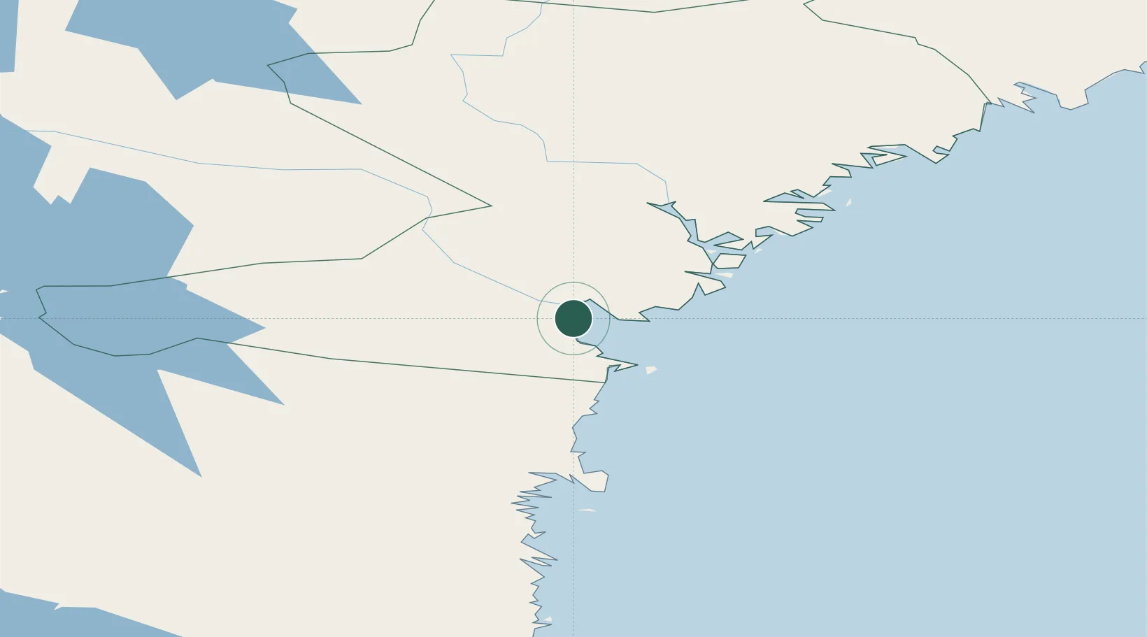
Populated place
Region
Västernorrland
Population
2,098
Time zone
Europe/Stockholm
Elevation
39 m
Location
Nearby Logistics Neighbours
Ports
- 1Vivstavarv4 km
- 2Sundsvall7 km
- 3Soraker10 km
- 4Stockvik13 km
- 5Harnosand36 km
Airports
- 1Sundsvall-Härnösand Airport10 km
- 2Kramfors-Sollefteå Höga Kusten Airport70 km
- 3Söderhamn Airport133 km
- 4Örnsköldsvik Airport135 km
- 5Sveg Airport158 km
Trade Zones
- 1Turku Free Zone341 km
- 2Stockholm Free Zone347 km
- 3Freeport of Hanko416 km
- 4Oulu Port Free Warehouse Area487 km
- 5Paldiski Free Zone502 km
DatabookThe Record of Consolidated Knowledge
Sweden beyond logistics?