Transport Functions
Port
Rail
Road
Hub Profile
Region
Y
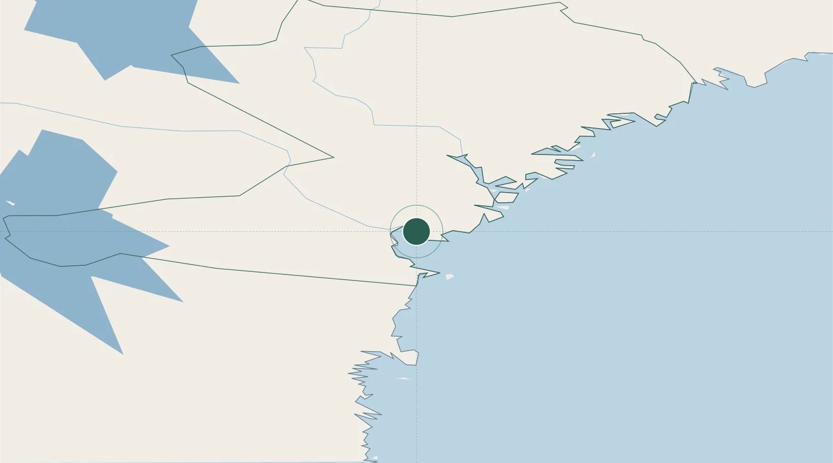
Location
Nearby Logistics Neighbours
Ports
- 1Vivstavarv8 km
- 2Sundsvall15 km
- 3Stockvik20 km
- 4Harnosand27 km
- 5Utansjo37 km
Airports
- 1Sundsvall-Härnösand Airport4 km
- 2Kramfors-Sollefteå Höga Kusten Airport63 km
- 3Örnsköldsvik Airport126 km
- 4Söderhamn Airport139 km
- 5Sveg Airport167 km
Trade Zones
- 1Turku Free Zone339 km
- 2Stockholm Free Zone352 km
- 3Freeport of Hanko414 km
- 4Oulu Port Free Warehouse Area478 km
- 5Paldiski Free Zone500 km
DatabookThe Record of Consolidated Knowledge
Sweden beyond logistics?