Medium airport · Sweden
Söderhamn AirportESNY
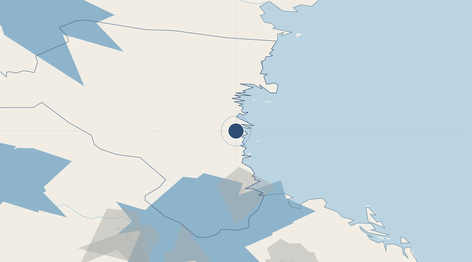
61.2615°, 17.0991°
8,281 ft
Longest runway
1
Runways
88 ft
Elevation
Runway & Layout

Radio Frequencies
AFIS
135.35 MHz
Navaids
OZ NDB Skallen 337 kHz
Runways · 1
| Runway | Dimensions | Surface | True heading | Lit |
|---|---|---|---|---|
| 12/30 | 8,281 × 131ft | Asphalt | 130° | ✓ |
Airport Specifications
IATA code
SOO
ICAO code
ESNY
Airport class
Medium airport
Scheduled service
No
Runway surface
Asphalt
Served city
Söderhamn
Location
Nearby Logistics Neighbours
Airports
- 1Gävle Sandviken Airport75 km
- 2Dala Airport127 km
- 3Sundsvall-Härnösand Airport142 km
- 4Mora Airport143 km
- 5Sveg Airport166 km
Cities
- 1Stugsund5 km
- 2Ljusne5 km
- 3Ala6 km
- 4Vallvik10 km
- 5Norrsundet35 km
Ports
- 1Soderhamn4 km
- 2Sandarne5 km
- 3Vallvik9 km
- 4Norrsundet37 km
- 5Iggesund43 km
Trade Zones
- 1Stockholm Free Zone220 km
- 2Turku Free Zone291 km
- 3Freeport of Hanko354 km
- 4Jönköping Free Zone424 km
- 5Gothenburg Boundless Customs Warehouse495 km
DatabookThe Record of Consolidated Knowledge
Sweden beyond logistics?