Transport Functions
Port
Rail
Road
Hub Profile
Region
Y
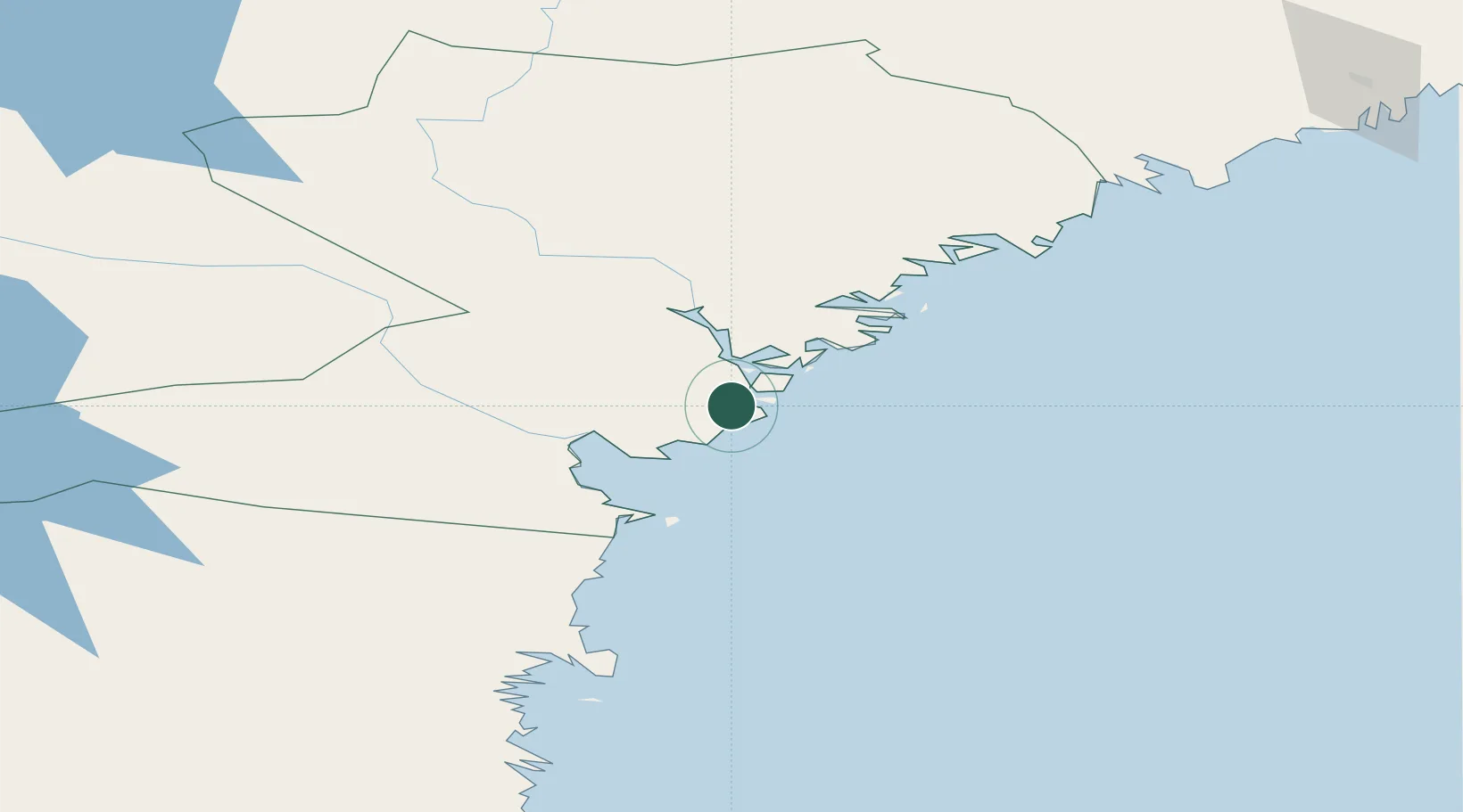
Location
Nearby Logistics Neighbours
Cities
- 1Gustavsvik22 km
- 2Noraström26 km
- 3Söråker27 km
- 4Kramfors34 km
- 5Sundsbruk36 km
Ports
- 1Utansjo15 km
- 2Gustavsvik22 km
- 3Soraker27 km
- 4Kramfors34 km
- 5Vivstavarv34 km
Airports
- 1Sundsvall-Härnösand Airport28 km
- 2Kramfors-Sollefteå Höga Kusten Airport47 km
- 3Örnsköldsvik Airport101 km
- 4Söderhamn Airport159 km
- 5Åre Östersund Airport184 km
Trade Zones
- 1Turku Free Zone333 km
- 2Stockholm Free Zone365 km
- 3Freeport of Hanko409 km
- 4Oulu Port Free Warehouse Area451 km
- 5Paldiski Free Zone494 km
DatabookThe Record of Consolidated Knowledge
Sweden beyond logistics?