UN/LOCODE hub · Sweden
SEGUS

Gustavsvik

62.8333°, 17.8833°
3
Transport functions

Transport Functions

Port
Rail
Road
Gustavsvik is also a profiled seaport →
UN/LOCODE

Hub Profile

Place type
Populated place
GeoNames
Region
Västernorrland
GeoNames
Time zone
Europe/Stockholm
GeoNames
Elevation
1 m
GeoNames

Location

Location of SEGUS
Natural Earth 10m (public domain) · Västernorrland · SEGUS · 62.83, 17.88GoogleOSMYandex

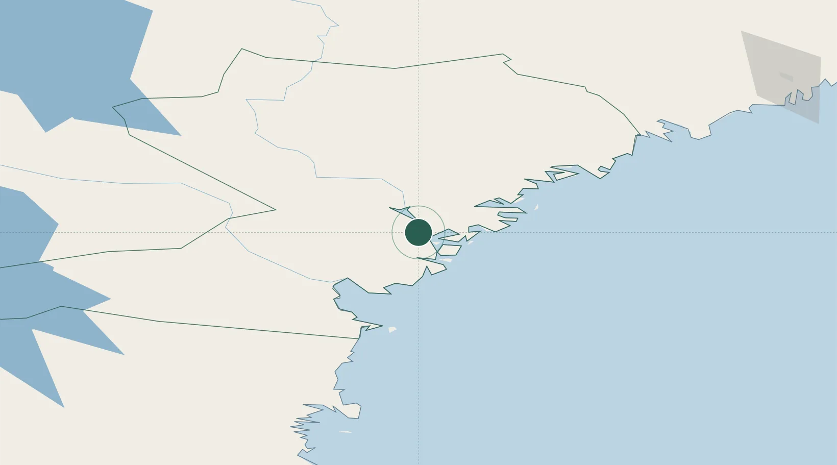
Nearby Logistics Neighbours

Cities
  1. 1Noraström9 km
  2. 2Kramfors12 km
  3. 3Bollstabruk21 km
  4. 4Härnösand22 km
  5. 5Söråker42 km
Nearest neighbours — logibook spatial index (haversine) over the source coordinates
Ports
  1. 1Utansjo8 km
  2. 2Kramfors12 km
  3. 3Vaja19 km
  4. 4Bollstabruk21 km
  5. 5Harnosand22 km
Nearest neighbours — logibook spatial index (haversine) over the source coordinates
Airports
  1. 1Kramfors-Sollefteå Höga Kusten Airport25 km
  2. 2Sundsvall-Härnösand Airport41 km
  3. 3Örnsköldsvik Airport85 km
  4. 4Åre Östersund Airport175 km
  5. 5Söderhamn Airport180 km
Nearest neighbours — logibook spatial index (haversine) over the source coordinates
Trade Zones
  1. 1Turku Free Zone350 km
  2. 2Stockholm Free Zone388 km
  3. 3Freeport of Hanko427 km
  4. 4Oulu Port Free Warehouse Area439 km
  5. 5Paldiski Free Zone512 km
Nearest neighbours — logibook spatial index (haversine) over the source coordinates
DatabookThe Record of Consolidated Knowledge
Sweden beyond logistics?
Browse databook

All Sources

LocationsUN/LOCODE
UN/LOCODE — free
Portsthe NGA World Port Index
Public domain (US gov)
AirportsOurAirports
Public domain
Trade Zonesthe World Bank SEZ database
CC BY 4.0
Trade ZonesOpen Zone Map
CC BY
← Sweden locations