UN/LOCODE hub · Portugal
PTADS
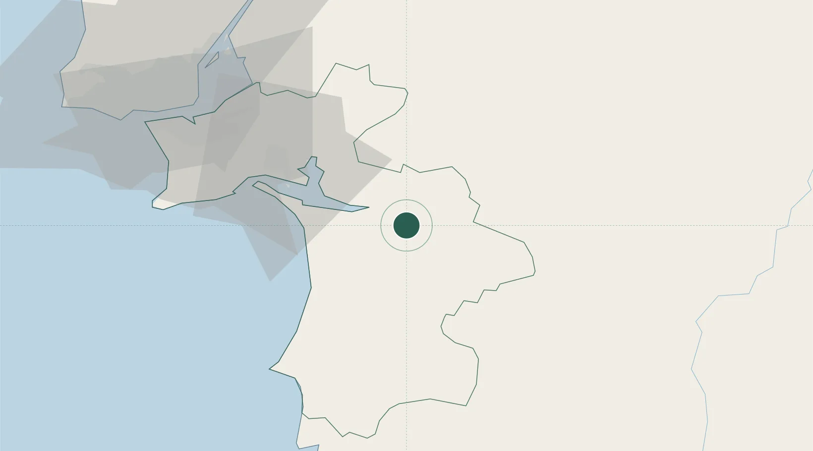
Alcácer do Sal
38.3667°, -8.5000°
9,198
Population
2
Transport functions
Transport Functions
Rail
Road
Hub Profile
Place type
Provincial seat
Region
Setúbal
Population
9,198
Time zone
Europe/Lisbon
Elevation
49 m
Location
Nearby Logistics Neighbours
Cities
- 1Águas de Moura30 km
- 2Casa Branca33 km
- 3Setúbal34 km
- 4Vendas Novas36 km
- 5Pegoes Velhos38 km
Airports
- 1Évora Airfield56 km
- 2Beja Airport / Airbase59 km
- 3Montijo Air Base60 km
- 4Lisbon Humberto Delgado Airport72 km
- 5Alverca Air Base74 km
Trade Zones
- 1Puerto de Huelva183 km
- 2Zona Franca de Sevilla248 km
- 3VGP Park Santa Maria da Feira285 km
- 4Zona Franca de Cádiz286 km
- 5Zona Livre Tecnológica Masotinhos313 km
DatabookThe Record of Consolidated Knowledge
Portugal beyond logistics?